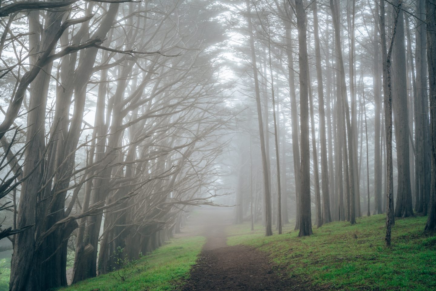
If you’re looking for the best hikes in the Bay Area, you don’t have to travel far for incredible scenery. Some of our favorite trails lead to waterfalls, towering redwood forests, coastal bluffs, sweeping mountain views, and even hidden beaches. After years of exploring every corner of the region, these are the hikes we continue recommending to friends and would gladly hike again ourselves.
One of the best things about hiking in the Bay Area is the incredible variety. In a single weekend, you can hike through redwood forests, watch waves crash against the shoreline, or climb to panoramic summit views that stretch for miles. Whether you’re visiting for the first time or looking for your next local adventure, these are 15 hikes that we think belong on every Bay Area bucket list.
HOW WE CHOSE THE BEST HIKES
When putting together this list of the best hikes in the Bay Area, we looked beyond popularity and social media hype. We focused on trails that offer something unique. Whether that’s a cascading waterfall, an ancient redwood grove, or a dramatic coastal viewpoint. We also gravitated toward hikes that showcase a variety of scenery rather than the same view from start to finish.
Most importantly, these are the trails that made us stop, look around, and appreciate just how beautiful the Bay Area can be. Many include a bit of challenge, but the payoff is always worth the effort. While every hiker has different preferences, these are the trails that have consistently left a lasting impression on us. And represent some of the views around the Bay Area.
WHAT TO KNOW BEFORE HIKING IN CALIFORNIA
The biggest piece of advice we would give you for hiking and exploring in California is this: Plan ahead but be flexible. Some places in the state require reservations months in advance, and some do not require reservations at all. Some are lesser known, and therefore less crowded. While others will have lines of vehicles waiting to get in for hours. If you’re planning to visit on a weekend, GO EARLY. As close to sunrise as possible. This will give you the best chance of getting a parking spot, and seeing the areas you’d like to see without massive crowds.
THE BEST HIKES IN THE BAY AREA
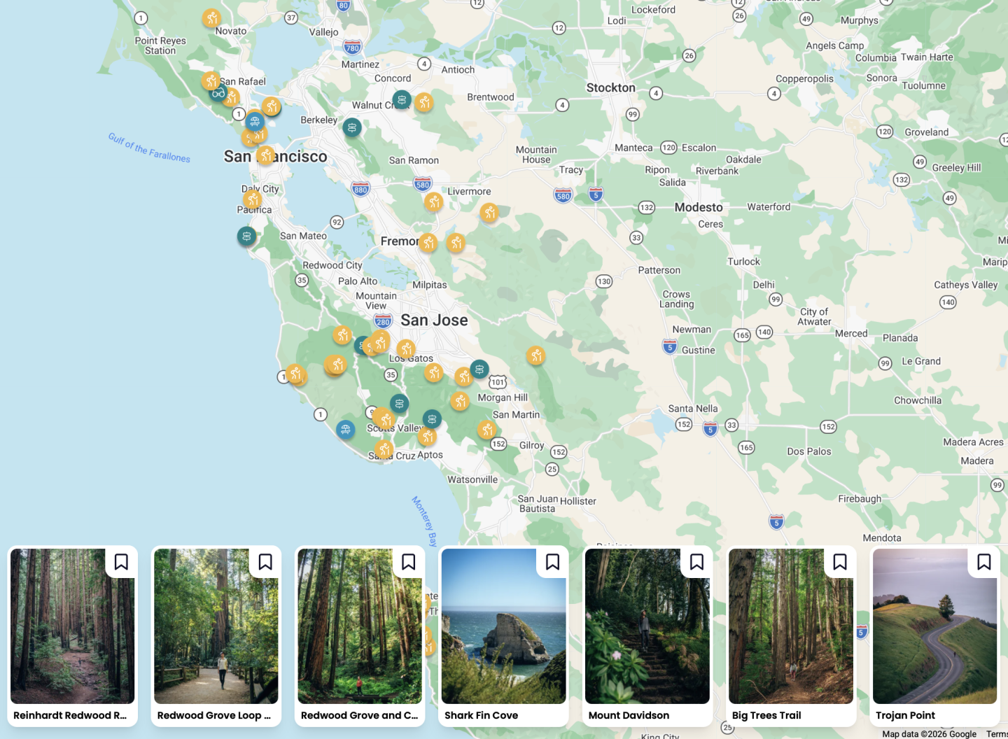
Want to search through over 175+ hikes around California to find the best hikes near you? Click on the map above to check out our California Bucket List Guide. It has not only 175+ hikes around California, but over 650 other things to do also!
NORTH BAY
Not many realize this, but the North Bay Area actually spans from Davis near Sacramento, all the way to Sea Ranch along the Sonoma County Coast. It’s a massive area. And while some of our favorite hikes in California are located within this area, we focused on listing only those that are close to the Bay itself.
CATARACT FALLS
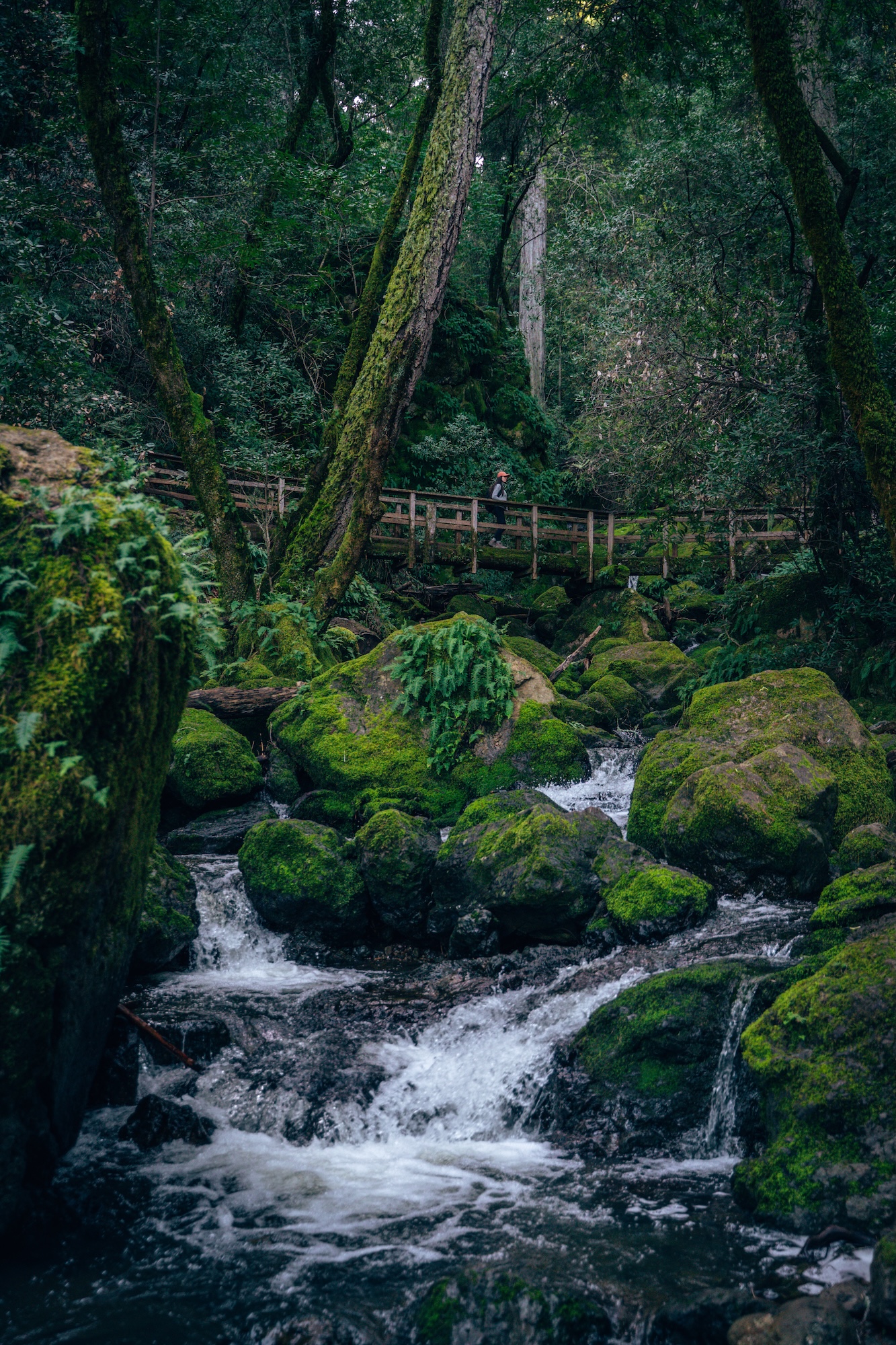
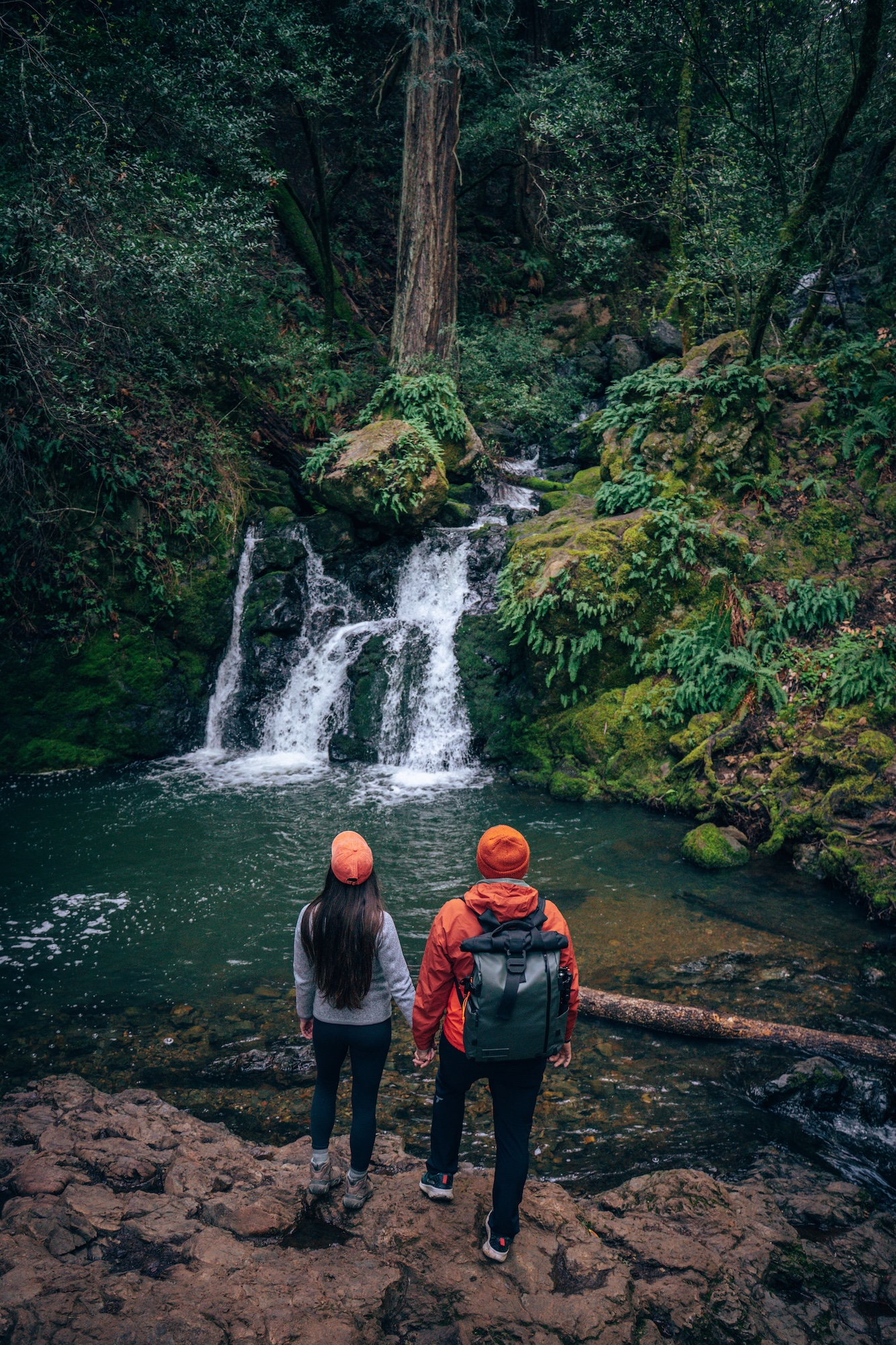
Located in Mount Tamalpais State Park, the Cataract Falls Trail is one of the best waterfall hikes in the Bay Area. The trail follows Cataract Creek through a shaded canyon lined with redwoods, ferns, and moss-covered rocks. Along the way, you’ll pass a series of cascades that gradually become larger as you make your way uphill. While the trail is enjoyable year-round, the waterfalls are most impressive after periods of steady winter or spring rainfall.
What makes this hike stand out is how different it feels from many other Bay Area trails. Instead of wide-open views, you’re surrounded by lush forest and the constant sound of rushing water. It feels cool, peaceful, and surprisingly remote, despite being less than an hour from San Francisco. If you’re hoping to see some of the best waterfalls in the Bay Area, this is a trail that’s hard to beat. But beware, there are a few areas with quite a few high steps making it a bit challenging for some.
- DIFFICULTY – Moderate
- LENGTH – 3.0mi / 4.8km loop
- ELEVATION GAIN – 1,050ft
- TIME NEEDED – 1.5-2 hours
- PET FRIENDLY – Pets are permitted
- Save the hike on AllTrails
IF YOU’RE INTERESTED IN FINDING MORE WATERFALL HIKES, CHECK OUT OUR WATERFALLS IN CALIFORNIA YOU MUST VISIT ARTICLE!
MUIR MAIN TRAIL
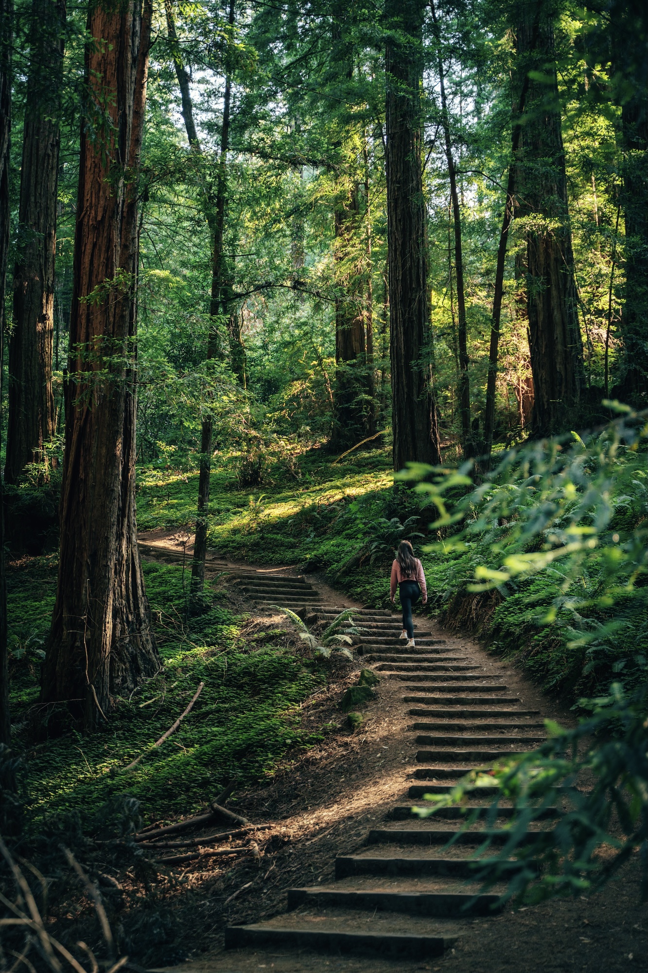
Located within Muir Woods National Monument, the Main Trail is the easiest way to experience one of the most famous redwood forests in California. This mostly flat and well maintained trail follows Redwood Creek through the heart of the monument. Passing towering old-growth coast redwoods that reach well over 200 feet tall. It’s an accessible walk for nearly every skill level and can easily be combined with connecting trails if you’re looking for a longer hike.
What makes this trail so memorable is the sheer scale of the trees. Photos never quite capture what it feels like to stand beneath them. Even though Muir Woods can get busy, especially on weekends, it’s still one of the most impressive places in the Bay Area to experience an old-growth redwood forest. Arriving early in the morning is the best way to enjoy a quieter experience before the crowds build.
- DIFFICULTY – Easy
- LENGTH – 1.5mi / 2.4km out and back
- ELEVATION GAIN – 50ft
- TIME NEEDED – 1 hour
- PET FRIENDLY – Pets are not permitted
- Save the hike on AllTrails
CHECK OUT OUR WHERE TO SEE THE BEST REDWOOD FORESTS OF CALIFORNIA ARTICLE FOR MORE REDWOOD INSPIRATION!
SLACKER HILL
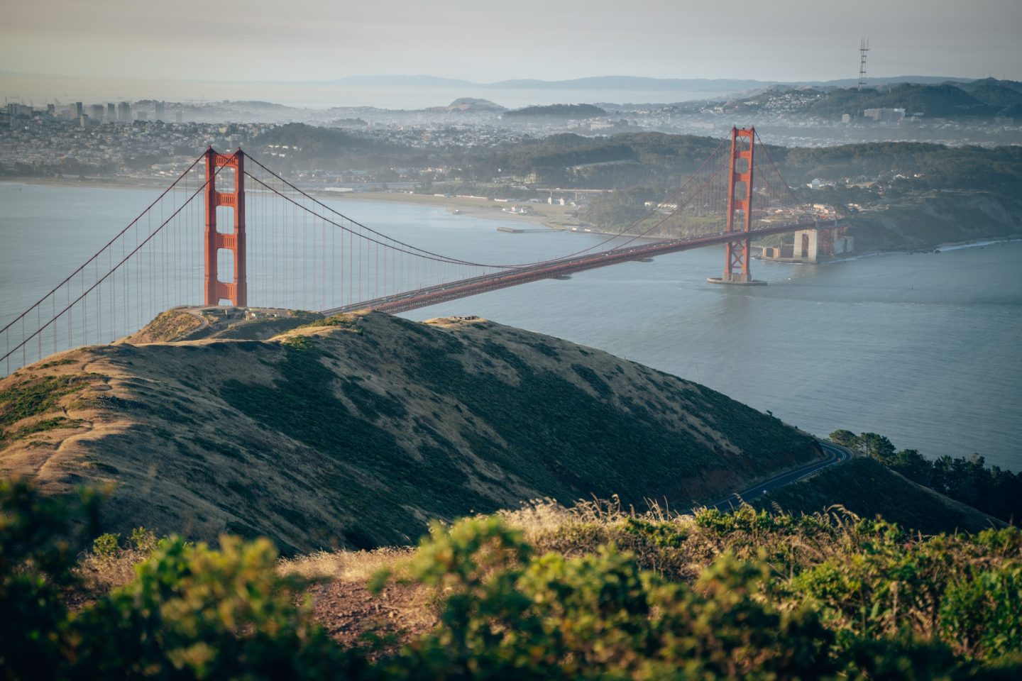
Located in Marin Headlands, the Slacker Hill Trail is a short but rewarding hike with some of the best views of the Golden Gate Bridge and the San Francisco skyline. The trail climbs steadily to the summit, where panoramic views stretch across the bay, the Pacific Ocean, and the rolling hills of the Headlands. While the climb is brief, it gains elevation quickly enough to leave you feeling like you’ve earned the view.
What makes this hike stand out is how much scenery you get for such a short distance. On a clear day, it’s hard to beat the combination of the Golden Gate Bridge, the city skyline, and the surrounding coastline from one viewpoint. Sunrise is an especially beautiful time to visit. But an evening sunset hike can be just as rewarding if you’re hoping for fewer people and calmer conditions.
Disclaimer: This area has been known to have vehicle break-ins. So we strongly recommend not leaving ANY belongings behind in your vehicle.
- DIFFICULTY – Easy
- LENGTH – 1.0mi / 1.6km out and back
- ELEVATION GAIN – 351 ft
- TIME NEEDED – 1-2 hours
- PET FRIENDLY – Pets are not permitted
- Save the hike on AllTrails
WANT TO FIND OTHER EPIC GOLDEN GATE VIEWS? CHECK OUT 17 WAYS TO VIEW GOLDEN GATE BRIDGE.
SAN FRANCISCO PENINSULA
The San Francisco Peninsula is home to some of the Bay Area’s most diverse hiking. With everything from towering redwood forests and rugged coastal bluffs to peaceful reservoirs and sweeping ridge-top vistas. Whether you’re looking for a short family-friendly walk or a challenging trail with panoramic ocean views, you’ll find plenty of memorable adventures just a short drive from San Francisco.
LANDS END TRAIL

Perched on the northwestern edge of San Francisco, the Lands End Trail is one of the city’s most iconic hikes. This scenic coastal trail winds along dramatic cliffs overlooking the Pacific Ocean and San Francisco Bay. With frequent viewpoints that showcase the Golden Gate Bridge, the Marin Headlands, and the rugged shoreline below. While the trail itself is relatively easy, a few short staircases and rolling hills add just enough elevation to keep things interesting. Along the way, you’ll also pass the famous Labyrinth, the Lands End Lookout Visitor Center, and the turnoff to Mile Rock Beach if you’re up for a short detour.
Beyond the incredible views, Lands End is rich in history. The trail passes the haunting remains of the Sutro Baths, once the world’s largest indoor swimming complex, as well as the ruins of the Sutro Heights estate. Keep an eye offshore for the wreck of the SS City of Rio de Janeiro, which sank just beyond the Golden Gate in 1901. Combining coastal scenery, historic landmarks, and easy accessibility, it’s no surprise that Lands End remains one of the most popular hikes in the San Francisco Bay Area.
- DIFFICULTY – Easy to Moderate
- LENGTH – 3.4mi / 5.4km loop
- ELEVATION GAIN – 540ft
- TIME NEEDED – 1.5-2 hours
- PET FRIENDLY – Pets are permitted
- Save the hike on AllTrails
WANT TO FIND OTHER EPIC GOLDEN GATE VIEWS? CHECK OUT 17 WAYS TO VIEW GOLDEN GATE BRIDGE.
NORTH RIDGE & SUNSET LOOP
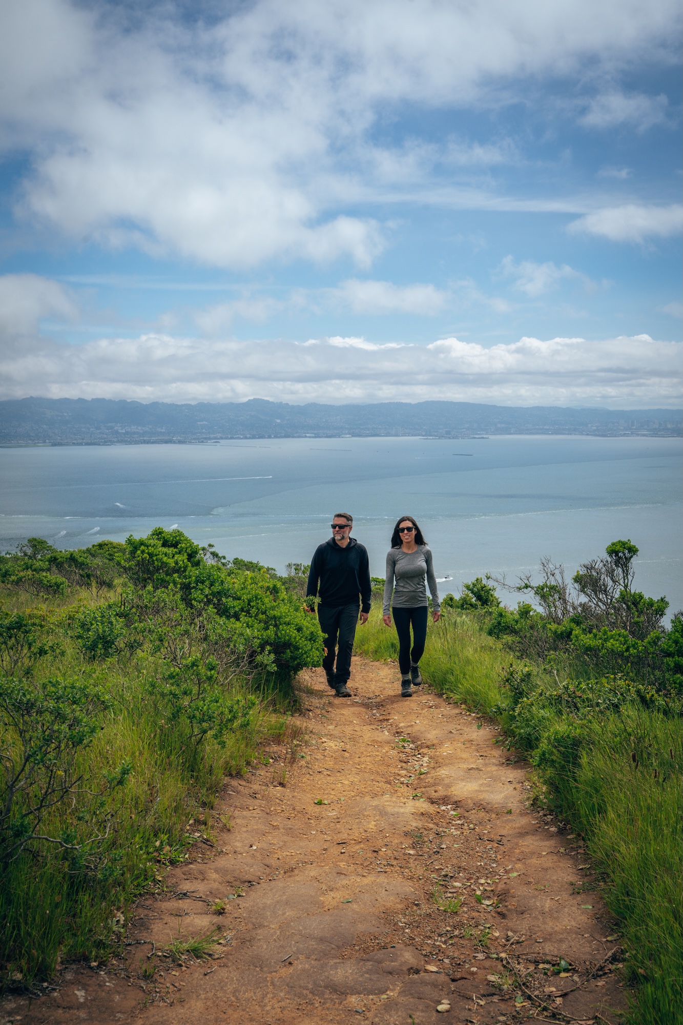
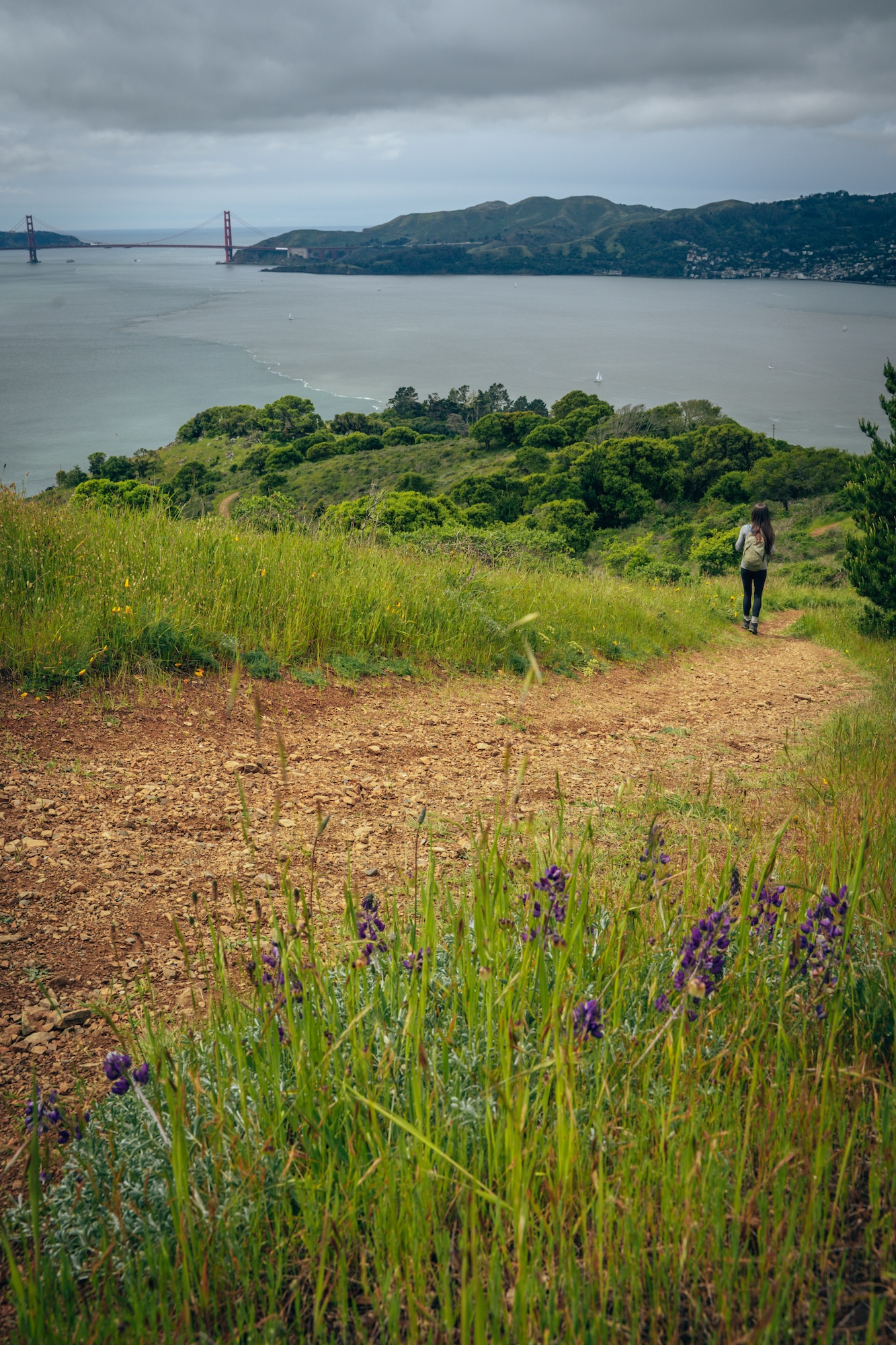
The North Ridge & Sunset Loop on Angel Island State Park delivers some of the best panoramic views in the entire San Francisco Bay Area. With a steady climb that quickly rewards you with sweeping sights of the Golden Gate Bridge, Alcatraz, the Marin Headlands, and the city skyline. The trail follows a combination of open ridgelines and quieter backroads across the island. Offering a mix of exposed sun-drenched sections and more sheltered stretches through eucalyptus and coastal scrub. It’s a moderately challenging loop, mostly due to the elevation gain, but the payoff is constant—there’s rarely a dull stretch of scenery.
What makes this hike stand out is how it feels both remote and central at the same time. Despite being just a short ferry ride from San Francisco or Tiburon, Angel Island has a calm, almost isolated atmosphere that strips away the city noise completely. Along the way, you’ll pass historic military sites, old immigration station remnants, and wide-open meadows that turn golden in the late afternoon light. If you time it for sunset, the loop lives up to its name—casting some of the most cinematic views you’ll get anywhere on the Bay.
- DIFFICULTY – Moderate to Challenging
- LENGTH – 5.1mi / 8.2km loop
- ELEVATION GAIN – 790ft
- TIME NEEDED – 2.5-3 hours
- PET FRIENDLY – Pets are not permitted
- Save the hike on AllTrails
WANT MORE INFO ON THIS HIKE AND PARK? ANGEL ISLAND STATE PARK – CALIFORNIA’S ONLY FLOATING STATE PARK
MOUNT DAVIDSON
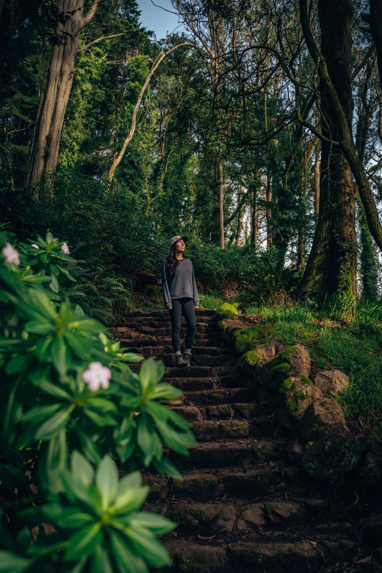
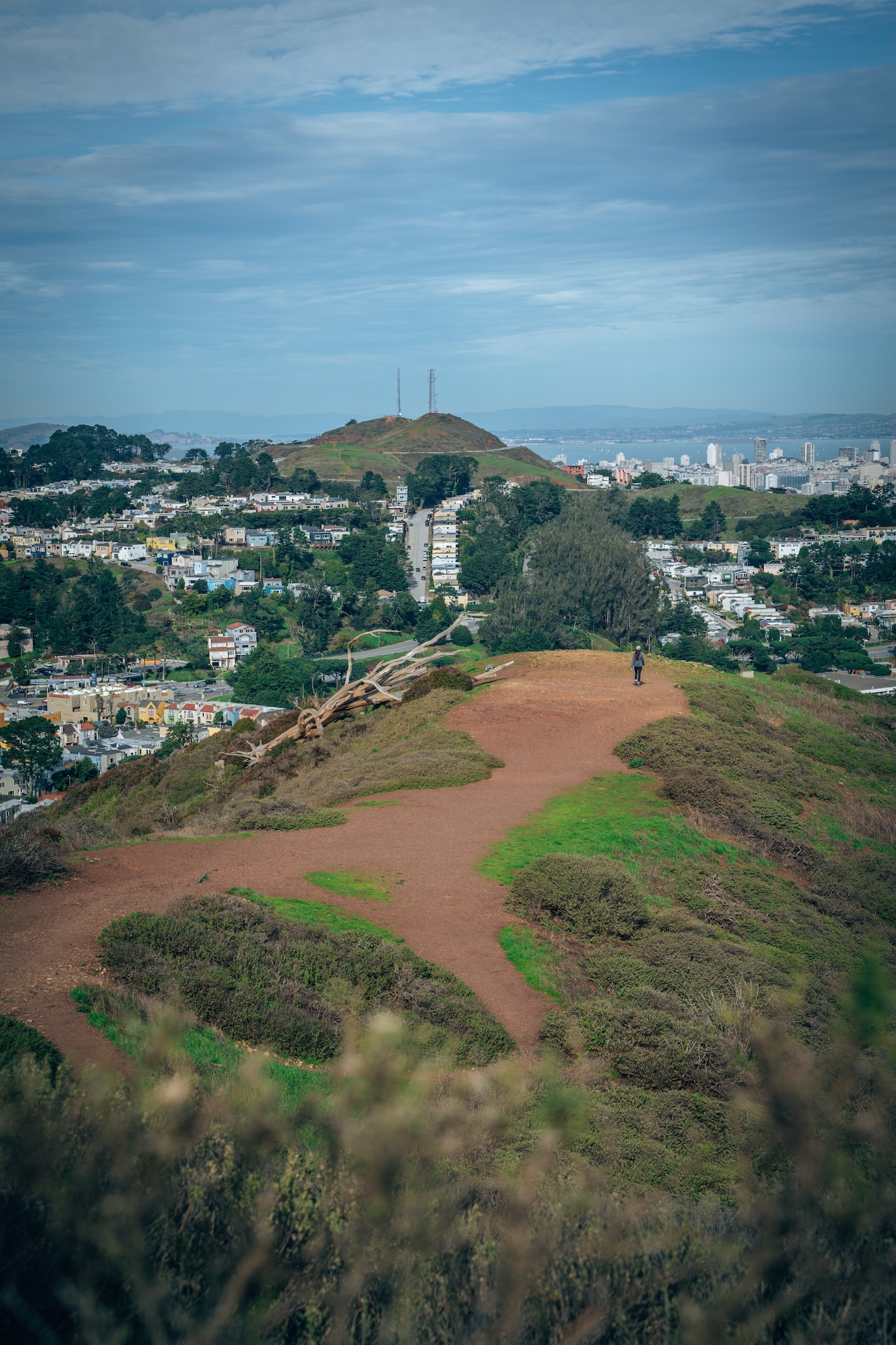
Located in Mount Davidson Park, Mount Davidson and is the highest natural point in San Francisco. But it feels surprisingly tucked away compared to the city’s more well-known hikes. The short trail to the summit climbs through a quiet eucalyptus forest that quickly muffles the noise of the surrounding neighborhoods, creating a peaceful, almost hidden escape in the middle of the city. The path is straightforward but steadily uphill, making it more of a quick workout than a long hike, and it’s accessible enough for most fitness levels.
At the top, you’re rewarded with a sweeping 360-degree view of San Francisco, stretching from downtown and Twin Peaks to the Pacific Ocean on a clear day. The summit is marked by a large concrete cross, a historic landmark that adds a distinctive focal point to the experience. While it doesn’t have the dramatic coastal scenery of other Bay Area hikes, Mount Davidson stands out for its solitude, convenience, and perspective over the entire city. It’s a solid choice if you want a quick nature break without leaving San Francisco.
- DIFFICULTY – Easy
- LENGTH – 1.0mi / 1.6km loop
- ELEVATION GAIN – 242 ft
- TIME NEEDED – 0.5-1 hour
- PET FRIENDLY – Pets are permitted
- Save the hike on AllTrails
MORI POINT LOOP
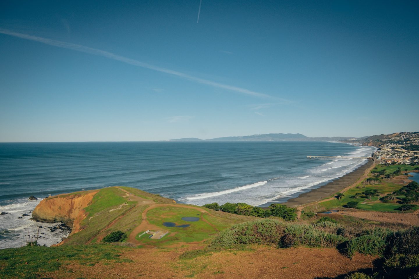
Located within the Golden Gate National Recreation Area in Pacifica, Mori Point is one of those coastal hikes that feels bigger than it looks on paper. The trail network is short and relatively simple, but it delivers constant ocean views as you climb rolling bluffs above the Pacific. Depending on the route you take, you’ll pass grassy hillsides, wildflowers in spring, and steep cliff edges where the land drops straight into crashing surf. It’s an easy place to customize your hike. Quick out-and-back to a viewpoint or a longer loop connecting multiple ridgelines and coastal overlooks.
What makes Mori Point stand out is the raw, exposed feel of the coastline paired with how quickly you get there from the city. From the higher viewpoints, you can spot the curve of Pacifica’s beaches, the Pacific stretching endlessly west, and sometimes even whales or surfers below when conditions line up. It’s windy, rugged, and a bit wild in the best way—less polished than nearby coastal parks, but that’s exactly the appeal. If you want a fast hit of dramatic ocean scenery without committing to a long hike, Mori Point delivers.
- DIFFICULTY – Moderate
- LENGTH – 2.6mi / 4.2km
- ELEVATION GAIN – 393 ft
- TIME NEEDED – 1-1.5 hours
- PET FRIENDLY – Pets are permitted
- Save the hike on AllTrails
FITZGERALD MARINE BLUFF & DARDANELLE TRAIL
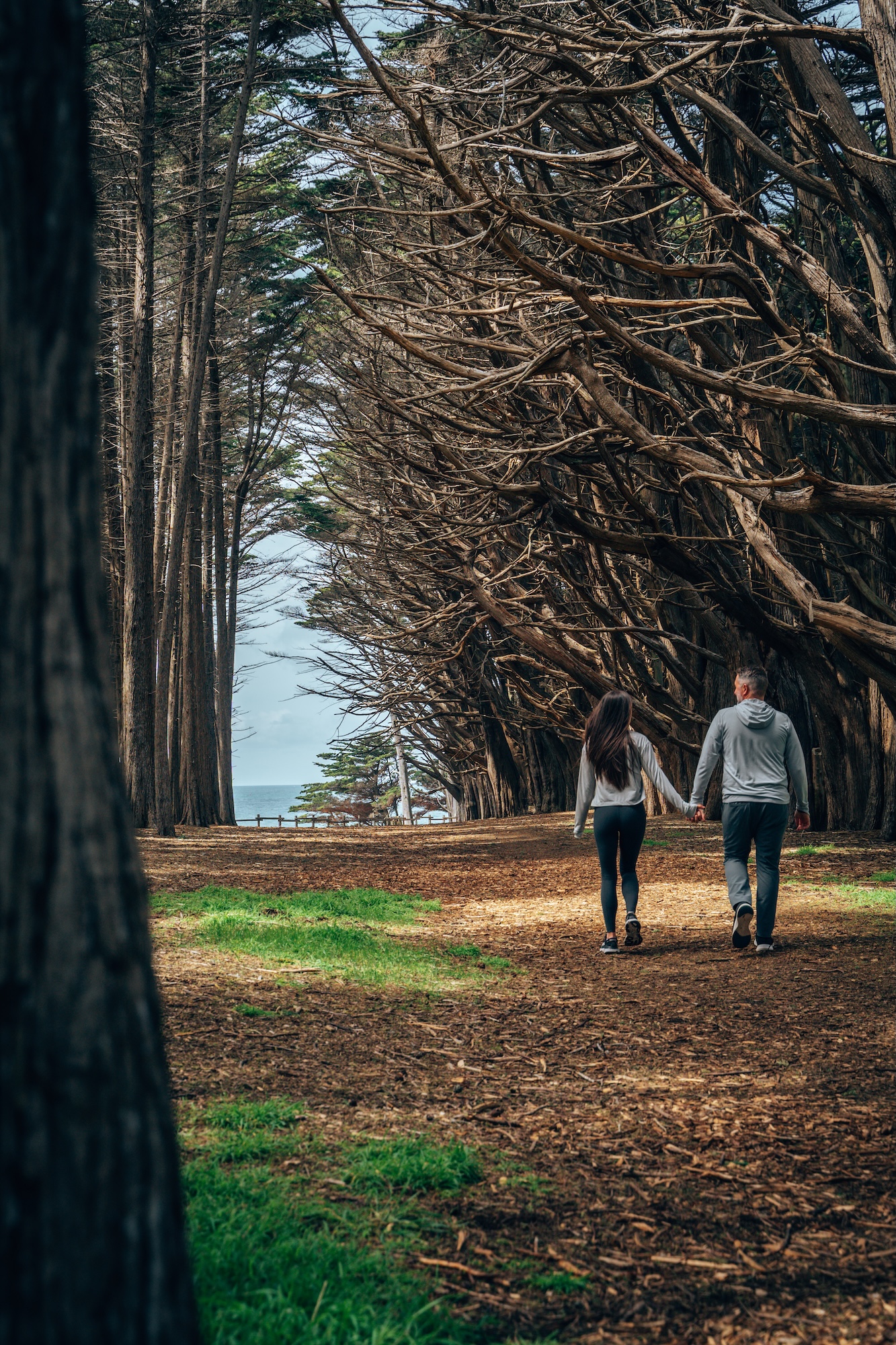
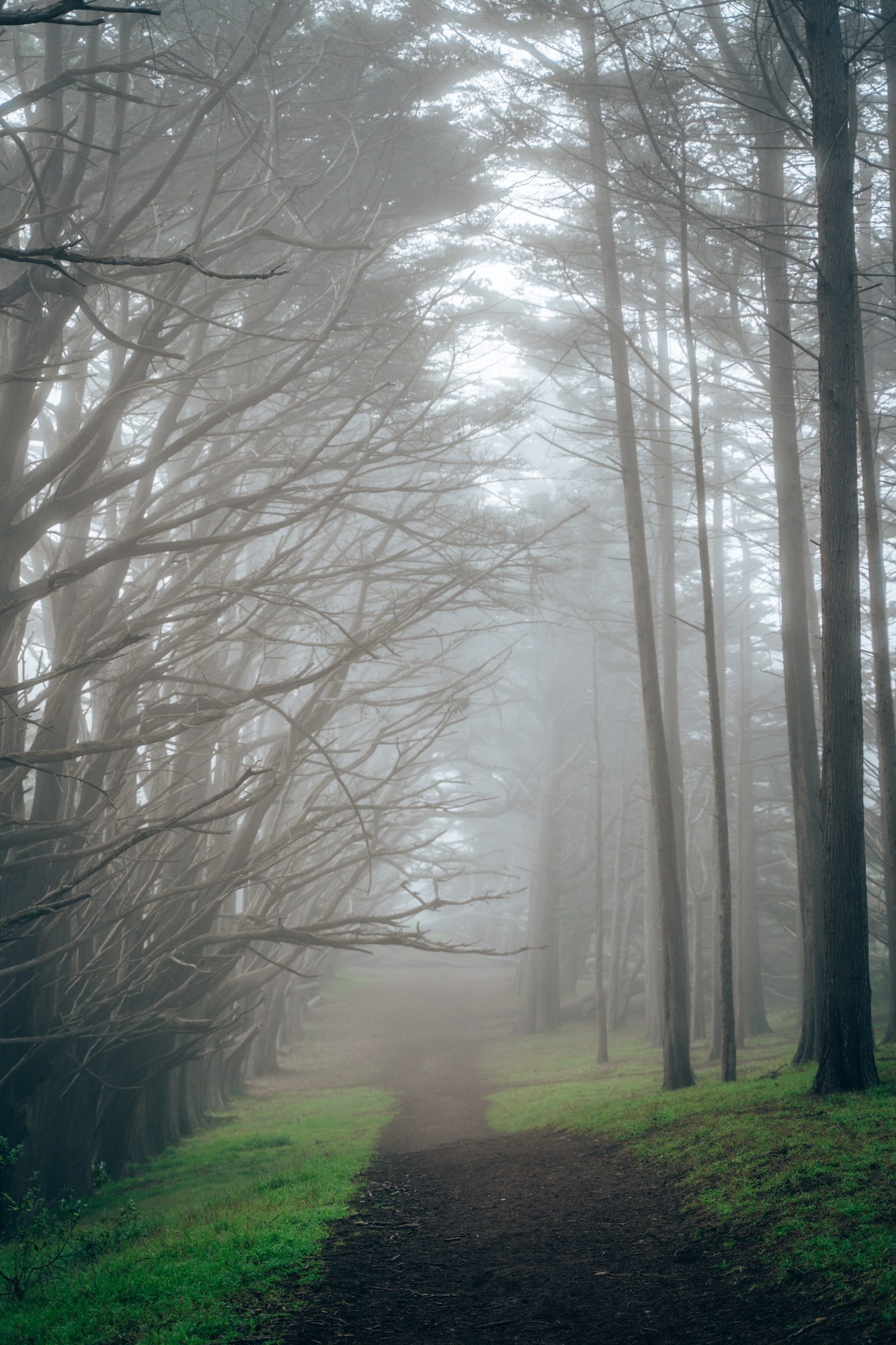
The Fitzgerald Marine Bluff & Dardanelle Trail in Moss Beach offers a quiet stretch of coastal hiking that feels more intimate than the busier Bay Area shoreline parks. The bluffside path runs above the Fitzgerald Marine Reserve, where you’ll get steady ocean views, rugged cliffs, and frequent chances to spot seabirds riding the updrafts. Depending on the tide and timing, you may also hear or glimpse the seal activity down in the protected coves below, even if you stay up on the bluffs.
What makes this area stand out is the contrast between the exposed coastal walk and the calmer, more wooded sections near the Dardanelle Trail connector. The terrain is generally easy and accessible, with gentle elevation changes and well-defined paths that make it suitable for a relaxed outing rather than a strenuous hike. It’s a solid choice when you want coastal scenery without crowds, especially on a clear day when the Pacific stretches endlessly into the horizon.
- DIFFICULTY – Easy
- LENGTH – 0.8mi / 1.3km
- ELEVATION GAIN – 55 ft
- TIME NEEDED – 0.5-1 hour
- PET FRIENDLY – Pets are permitted on a portion of the trail
- Save the hike on AllTrails
EAST BAY
The East Bay delivers some of the most underrated hiking in the Bay Area. With a mix of wide-open grassland ridges, oak-studded hills, and surprisingly expansive views back toward San Francisco and the Golden Gate. Trails here tend to feel more spacious and less congested than their coastal or Peninsula counterparts. Making it a great area if you want longer ridge hikes, big elevation gains, or quieter loops where you can actually settle into the landscape without constant foot traffic.
TRES SENDAS TO STREAM TRAIL LOOP
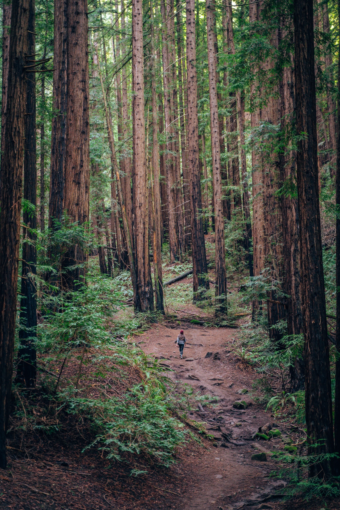
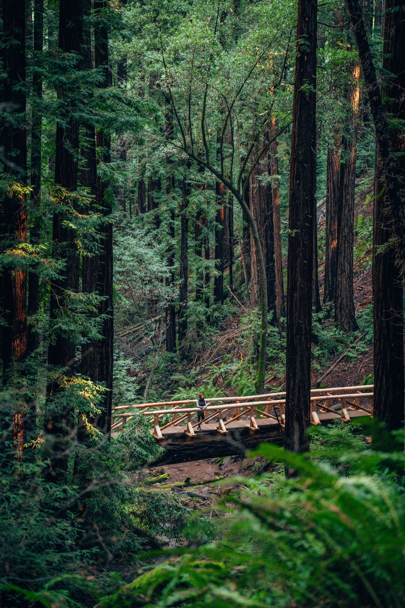
Located in Reinhardt Redwood Regional Park, the Tres Sendas to Steam Loop trail is one of the best ways to experience the East Bay’s hidden redwood canyon without committing to a long or difficult hike. The route threads together shaded forest trails, gentle climbs, and quiet creekside sections. Giving you a surprisingly immersive redwood experience just minutes from Oakland. Depending on how you link the loop, you can keep it relatively mellow or extend it for a longer, more sustained forest walk.
What stands out here is the contrast between the dense redwood groves along the Stream Trail and the open, rolling hillside sections on Tres Sendas. You’ll move between cool, dim forest corridors and sunlit ridgelines with wide views over the East Bay hills, which keeps the hike feeling varied the entire way through. It’s a great option when you want that classic “big tree” experience without the crowds of the more famous redwood parks.
- DIFFICULTY – Moderate loop
- LENGTH – 3.1mi / 5.0km
- ELEVATION GAIN – 538ft
- TIME NEEDED – 1.5-2 hours
- PET FRIENDLY – Pets are permitted
- Save the hike on AllTrails
MISSION PEAK
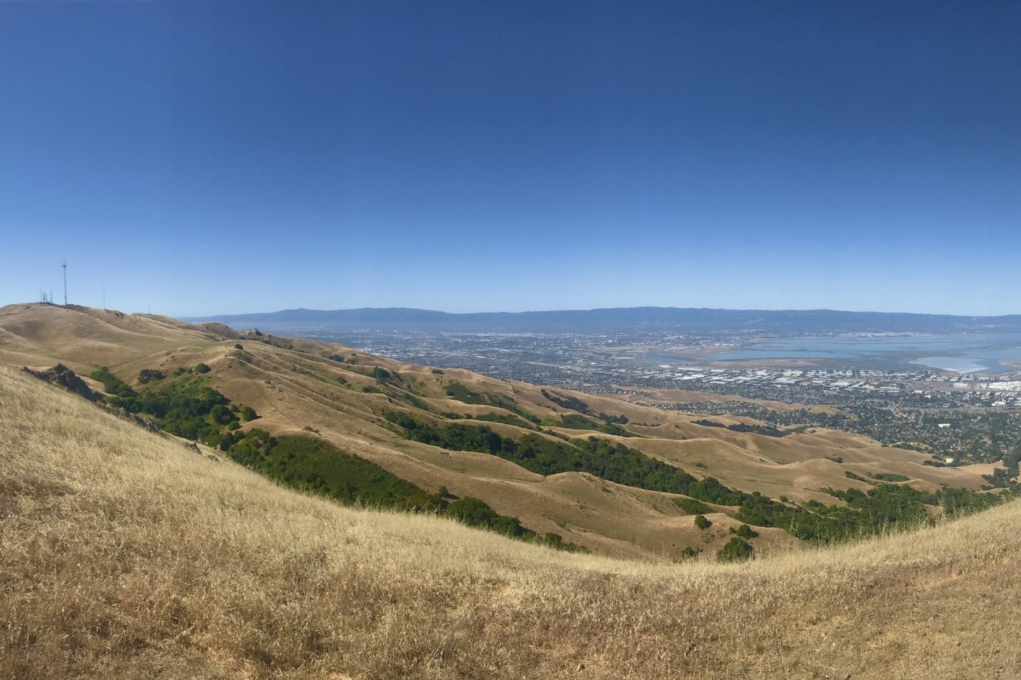
Located between Milpitas and Fremont, Mission Peak is one of the most iconic and most demanding hikes in the East Bay, known for its relentless climb and instantly recognizable summit pole. The trail wastes no time gaining elevation, pushing steadily upward from the parking area through open grasslands with very little shade. It’s a straightforward route, but the sustained incline makes it feel more like a grind than a stroll, especially on warm days when the sun hits the exposed hillsides.
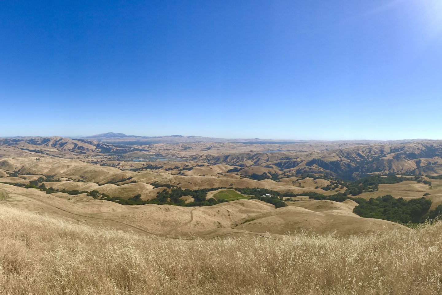
At the top, the payoff is hard to argue with. On a clear day, you get sweeping views of the entire Bay Area—from San Francisco and the Golden Gate to the South Bay and even the Sierra foothills in the distance. The summit itself is often crowded, but the sense of accomplishment and scale makes it worth it. Mission Peak isn’t subtle, and it’s not easy, but it’s one of those hikes that earns its reputation the moment you’re looking out over the ridge.
- DIFFICULTY – Challenging
- LENGTH – 6.1mi / 9.8km loop
- ELEVATION GAIN – 2,145ft
- TIME NEEDED – 4-5 hours
- PET FRIENDLY – Pets are permitted, but we wouldn’t recommend
- Save the hike on AllTrails
JUNIPER & SUMMIT TRAIL LOOP
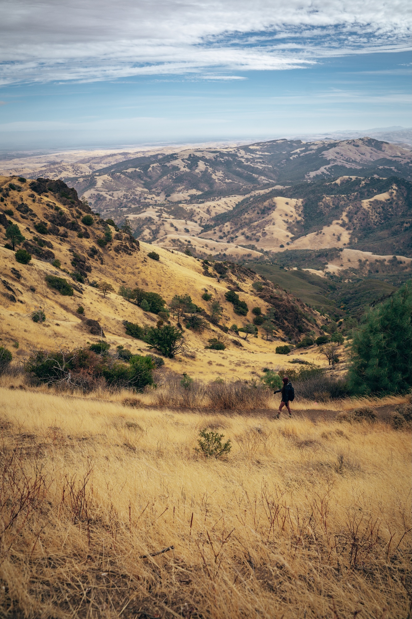
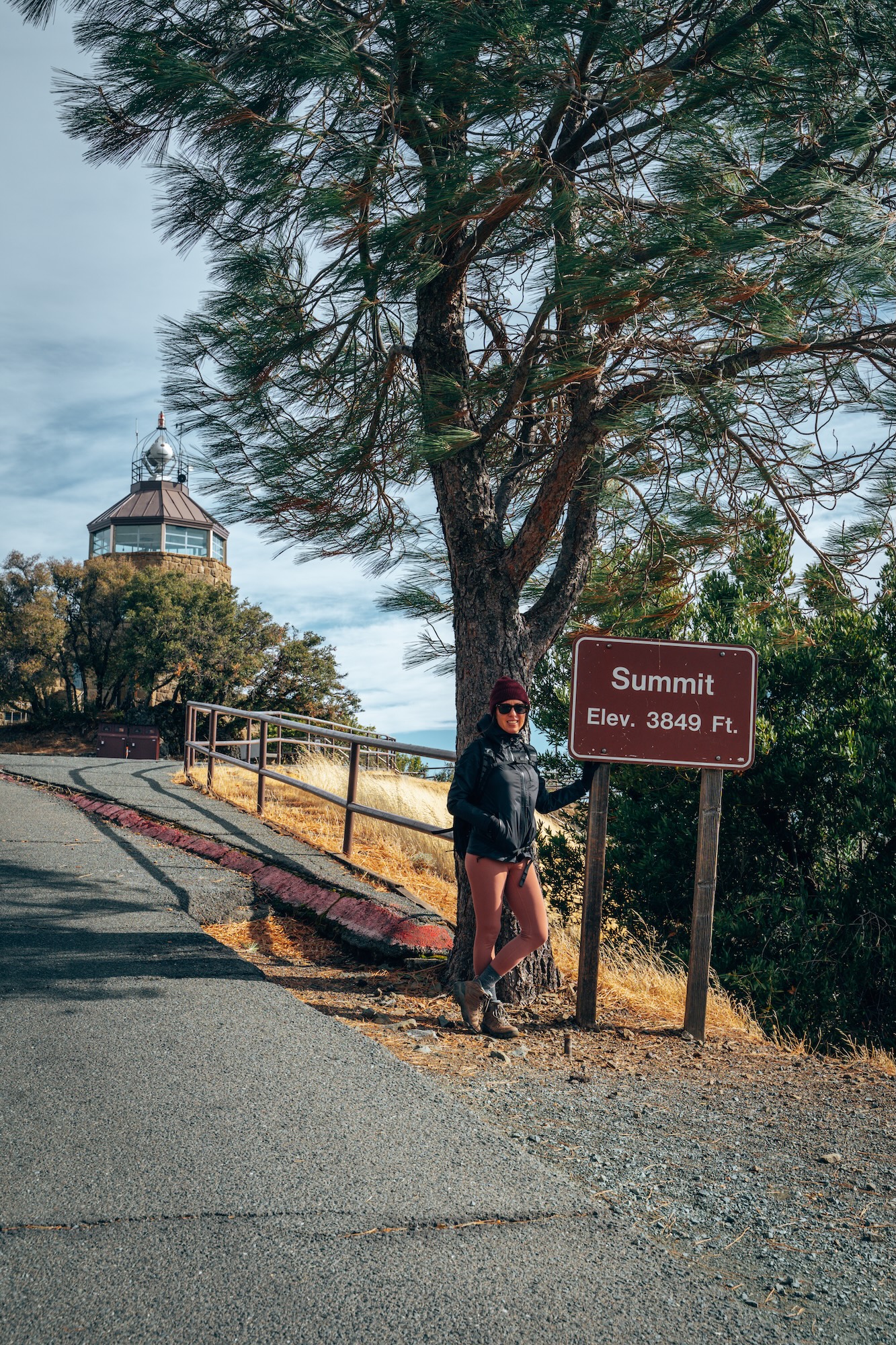
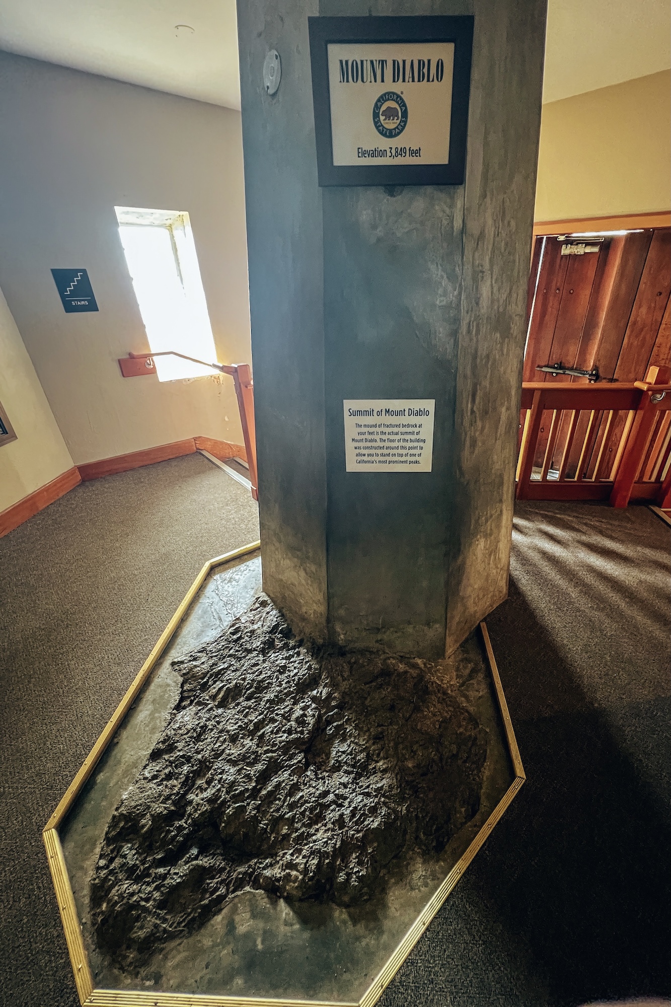
Located in Mount Diablo State Park near Danville, The Juniper & Summit Trail Loop is one of the best ways to experience the dramatic elevation and wide-open landscapes that define this East Bay landmark. Starting from near the summit area, the loop quickly immerses you in a mix of rocky terrain, exposed ridgelines, and hardy juniper-dotted slopes that feel almost otherworldly compared to the greener valleys below. It’s a relatively short hike, but the constant elevation changes and exposed sections make it feel more rugged than the mileage suggests.
What makes this loop especially rewarding are the views in every direction. On clear days, you can see across the entire Bay Area, from the Pacific Ocean to the Sierra Nevada, with rolling hills stacked in every layer between. The terrain shifts between sun-baked ridges and quieter, wind-sheltered sections, giving you a strong sense of Mount Diablo’s unique ecology and scale. It’s a compact hike, but it delivers some of the most expansive scenery in the region.
- DIFFICULTY – Moderate to Challenging
- LENGTH – 3.9mi / 6.3km loop
- ELEVATION GAIN – 1,007ft
- TIME NEEDED – 2-2.5 hours
- PET FRIENDLY – Pets are not permitted
- Save the hike on AllTrails
SOUTH BAY
The South Bay tends to get overlooked, but it quietly delivers some of the most accessible hiking in the region, especially if you’re looking for big climbs, wide-open ridgelines, and reliable year-round conditions. Trails here often feel more expansive and less coastal-influenced than other parts of the Bay, with oak-covered hills, dry grasslands, and long ridge hikes that stretch for miles. It’s a solid go-to when you want elevation gain and space to breathe without dealing with heavy crowds or coastal fog.
SAN ANDREAS & NATURE TRAIL LOOP
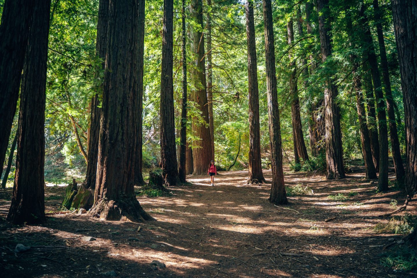
Located in Sanborn County Park just outside of Saratoga, the San Andreas Nature Trail Loop is a short but surprisingly engaging hike tucked into the Santa Cruz Mountains. The trail winds through dense oak and bay laurel forest, following gentle contours along Sanborn Creek and offering a shaded, easygoing alternative to the park’s steeper ridge hikes. It’s an approachable loop that works well as a warm-up hike or a relaxed nature walk, especially on hotter South Bay days when the forest cover provides welcome relief.
What makes this trail interesting is its proximity to the San Andreas Fault zone, which runs right through the park and subtly shapes the landscape you’re walking through. Interpretive signs along the route add context to the geology and ecology, giving the hike a bit more depth than your typical woodland stroll. While it doesn’t offer big summit views, it delivers a quiet, immersive forest experience that feels a world away from nearby Silicon Valley.
- DIFFICULTY – Easy
- LENGTH – 1.8mi / 2.9km loop
- ELEVATION GAIN – 239ft
- TIME NEEDED – 0.5-1 hour
- PET FRIENDLY – Pets are permitted on a portion of the trail
- Save the hike on AllTrails
MOUNT UMUNHUM
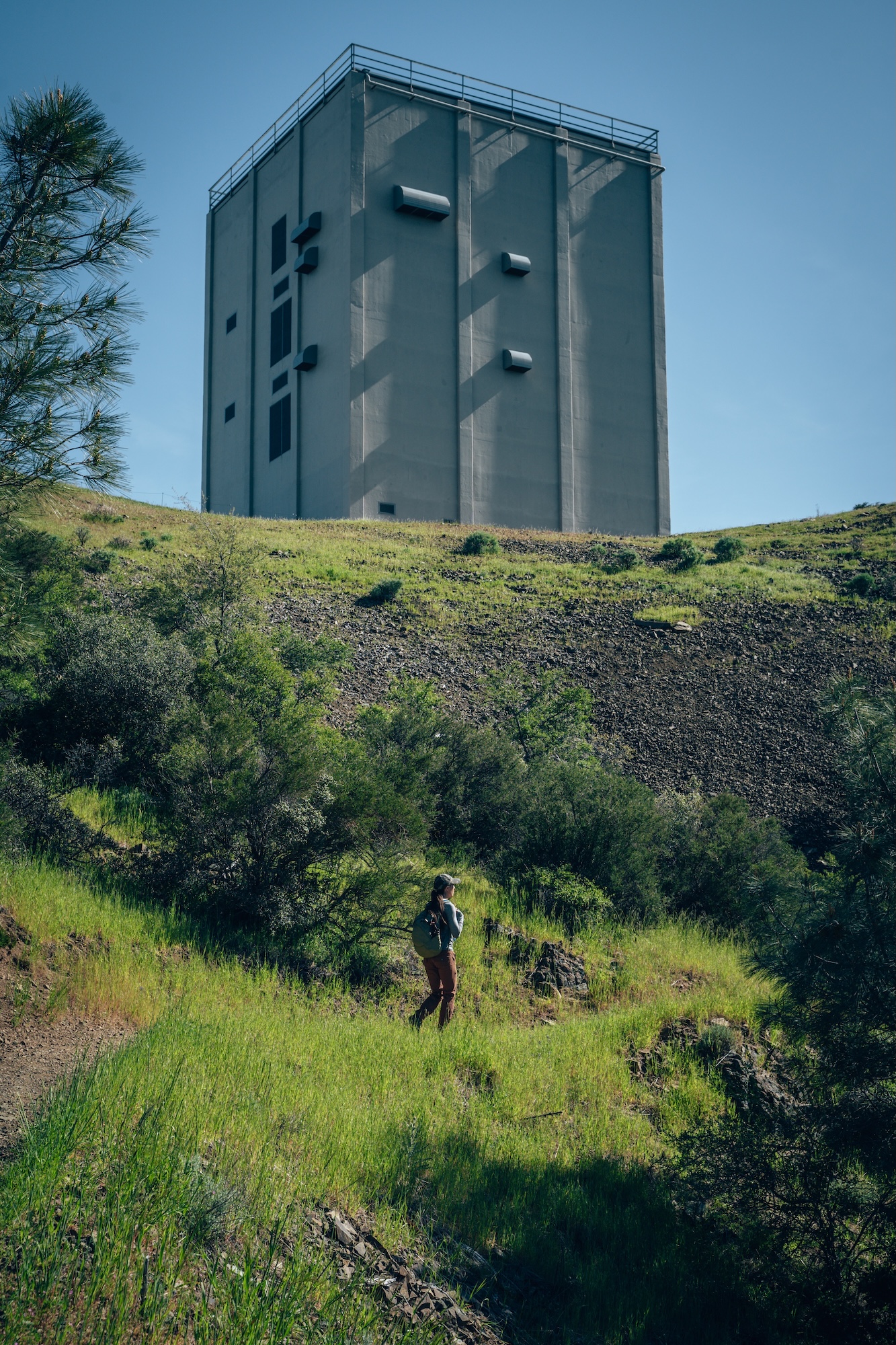
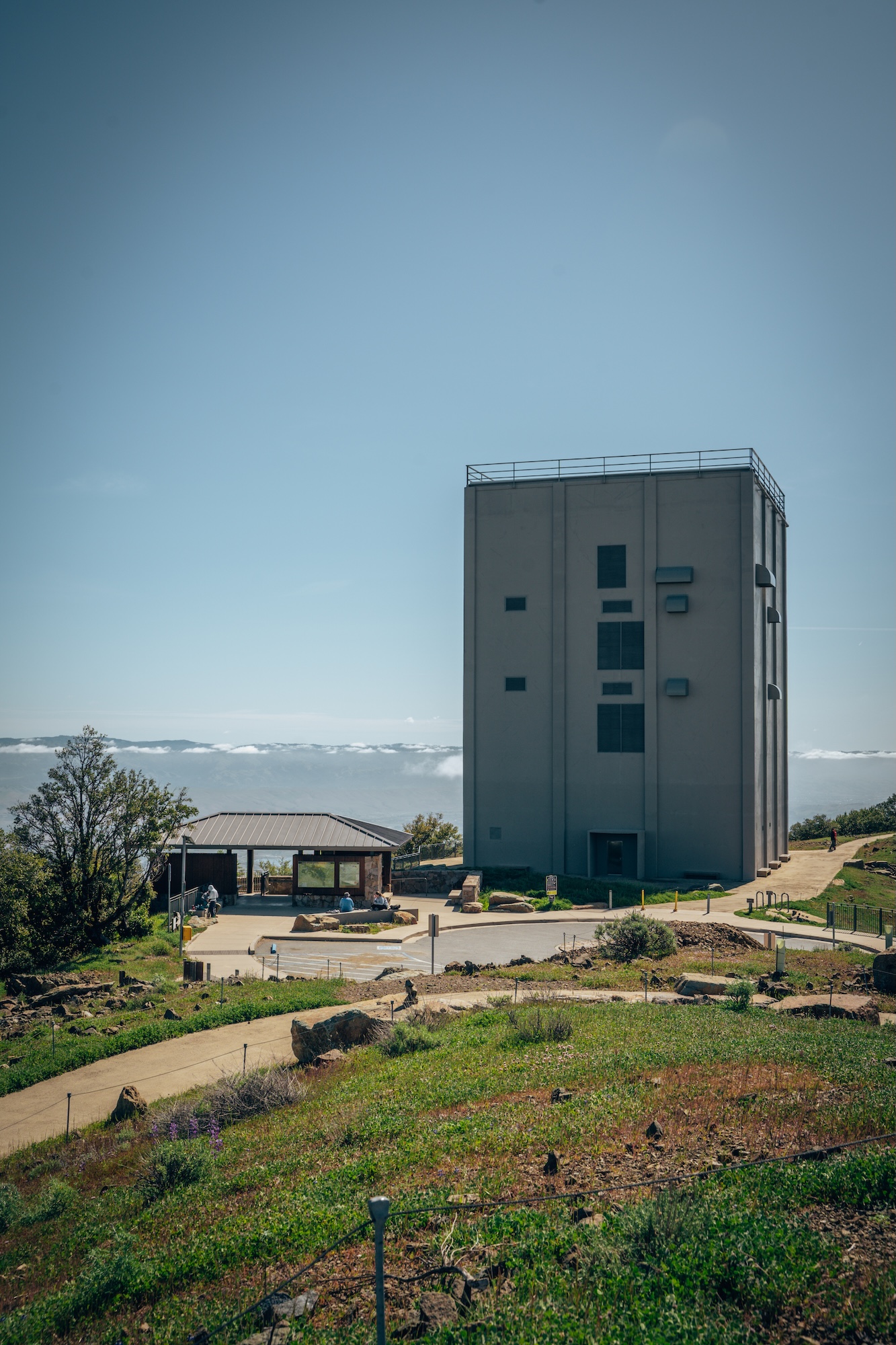
One of the most striking hikes in the South Bay, and one of our absolute favorite hikes in California is Mount Umunhum. Both for its summit views and its unmistakable radar tower perched at the top. The road-to-trail experience is relatively straightforward, with a steady climb through chaparral-covered slopes and open ridgelines that gradually reveal wider and wider views over Silicon Valley, the Santa Cruz Mountains, and beyond. The final push to the summit is short but rewarding, especially as the landscape opens up dramatically near the top.
At the summit, the experience shifts from scenic to surreal. The restored Air Force radar tower dominates the skyline, giving the peak a unique character you won’t find anywhere else in the Bay Area. On a clear day, you can see from the Pacific Ocean to the Diablo Range, with sweeping 360-degree views that feel almost unreal given how close you are to major population centers. It’s a hike that blends history, elevation, and scale in a way that makes it one of the most memorable South Bay destinations.
Don’t let the distance or elevation gain deter you. This hike is a slow and steady climb, so you never really feel out of breath or exhausted… until you’re back at the bottom haha.
- DIFFICULTY – Moderate to Challenging
- LENGTH – 8.2mi / 13.2km
- ELEVATION GAIN – 1187ft
- TIME NEEDED – 2-3 hours
- PET FRIENDLY – Pets are permitted
- Save the hike on AllTrails
WANT TO LEARN MORE ABOUT THIS HIKE, OR THE RADAR TOWER? CHECK OUT OUR MOUNT UMUNHUM: A BAY AREA HIKE YOU MUST DO! ARTICLE.
UVAS CANYON WATERFALL LOOP
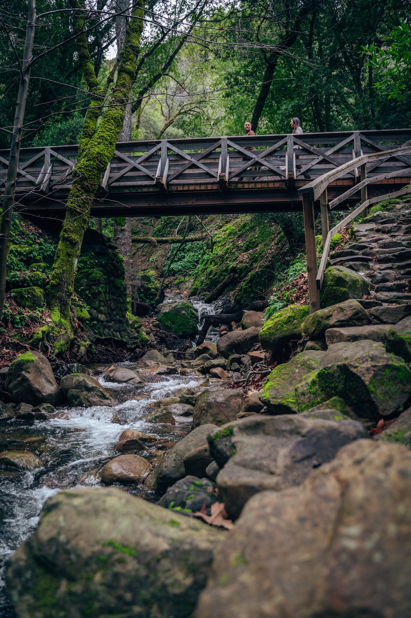
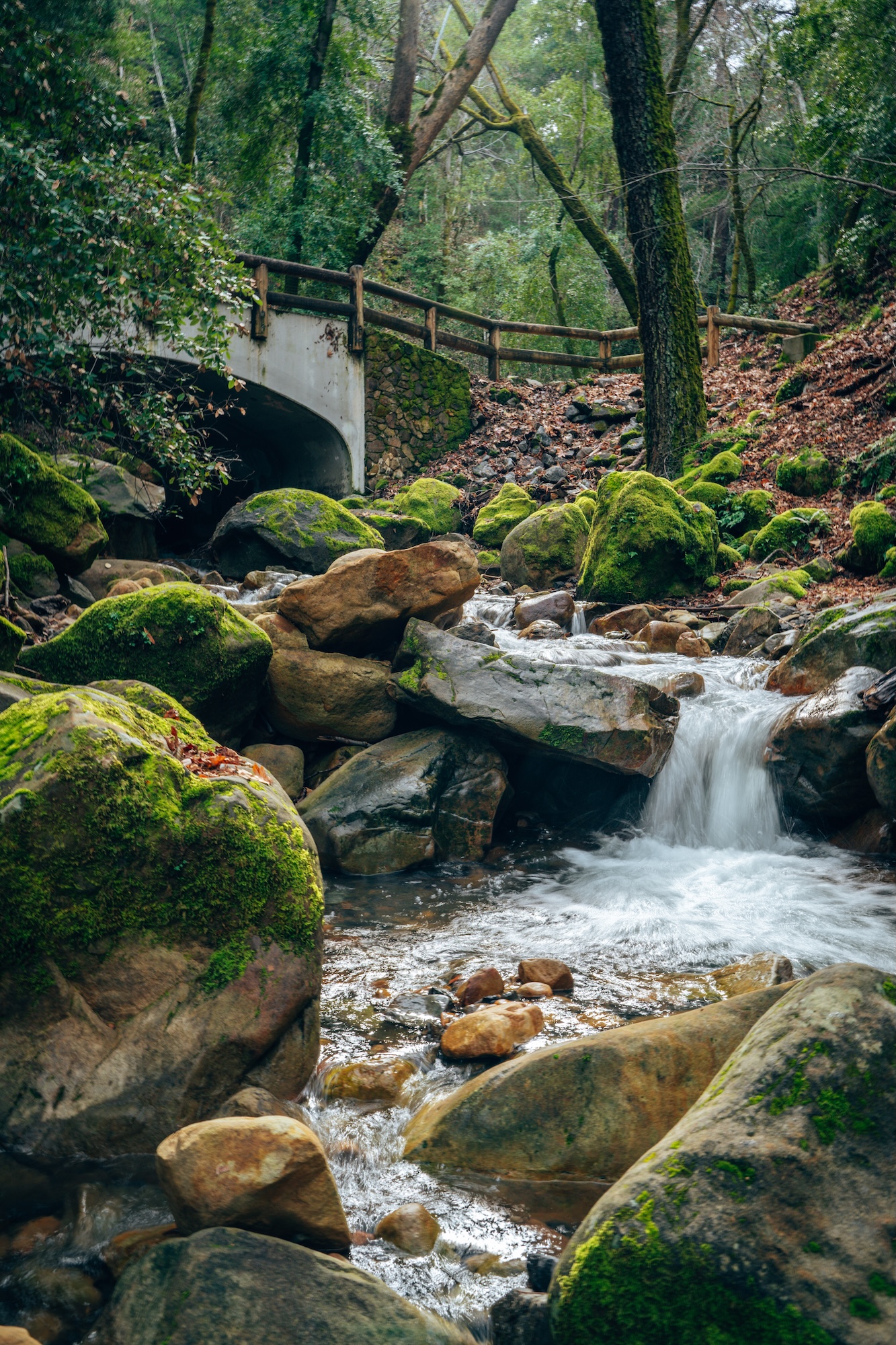
The Waterfall Loop Trail in Uvas Canyon County Park is one of the South Bay’s most rewarding waterfall hikes, especially in the wetter months when the creeks are flowing strong. This (used to be) loop connects a series of small but scenic waterfalls—including Granuja Falls, Upper Falls, and Basin Falls—along a shaded canyon filled with redwoods, oaks, and lush understory growth. The trail is generally moderate, with a steady climb as you move deeper into the canyon, but the frequent water features keep it engaging the entire way.
What makes this hike stand out is how quickly you’re immersed in a true “waterfall canyon” experience without driving hours into the Sierra or Coast Range. Each fall has its own character, from cascading tiers to wider pool-fed drops, and the trail often follows close to the creek, adding constant sound and movement. It can get busy on weekends, but there are enough bends and side views that it rarely feels overwhelming. If you catch it after rainfall, this is easily one of the most atmospheric hikes in the South Bay.
- DIFFICULTY – Easy to Moderate
- LENGTH – 1.5mi / 2.4km out and back
- ELEVATION GAIN – 390ft
- TIME NEEDED – 0.5-1 hour
- PET FRIENDLY – Pets are permitted
- Save the hike on AllTrails
IF YOU’RE INTERESTED IN FINDING MORE WATERFALL HIKES, CHECK OUT OUR WATERFALLS IN CALIFORNIA YOU MUST VISIT ARTICLE!
AMPITHEATER & VALLEY VIEW LOOP
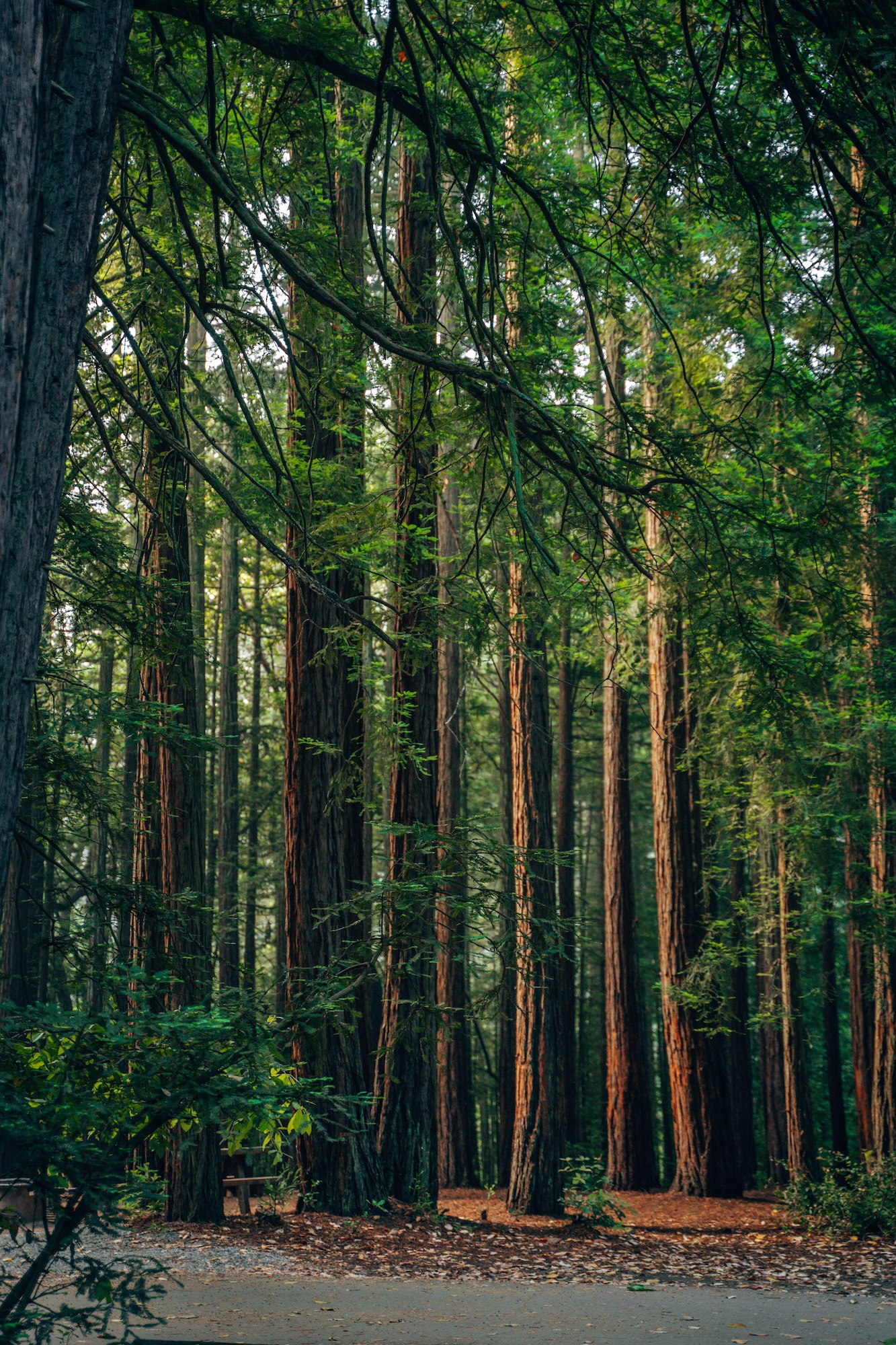
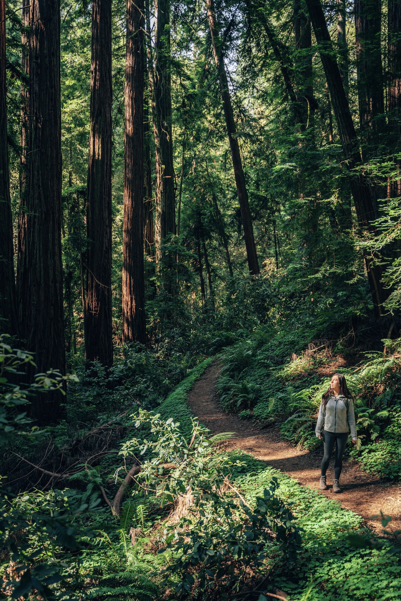
The Amphitheater & Valley View Loop in Mount Madonna County Park is a quiet, underrated hike in the Santa Cruz Mountains that offers a mix of shaded forest and open hillside views. The trail winds through dense stands of redwoods and mixed evergreen forest before opening up to grassy ridgelines with sweeping views over the Pajaro Valley, rolling farmland, and distant glimpses of the Monterey Bay. It’s a moderate loop with steady elevation changes, but nothing overly technical, making it a solid choice for a relaxed half-day hike.
What makes this route stand out is its sense of solitude, with far fewer crowds than most nearby South Bay parks, giving the trails a quiet, almost tucked-away feel. Along the way, you’ll also pass the historic Miller Estate area, a reminder of the park’s layered past before it became protected open space. The real payoff comes from the open ridgelines, where wide views stretch across the Pajaro Valley, rolling farmland, and out toward the Monterey Bay, offering a sharp contrast to the shaded forest sections below.
- DIFFICULTY – Easy to Moderate
- LENGTH – 2.8mi / 4.5km loop
- ELEVATION GAIN – 620ft
- TIME NEEDED – 1.5-2 hours
- PET FRIENDLY – Pets are permitted
- Save the hike on AllTrails
WANT TO LEARN MORE ABOUT THIS HIKE AND PARK? CHECK OUT OUR MOUNT MADONNA COUNTY PARK: CAMPING WITH THE GHOSTS OF THE MILLER ESTATE ARTICLE!
JUST BEYOND THE BAY
Despite it’s close proximity, Santa Cruz County is not actually considered to be part of “The Bay Area”. Places like Big Basin Redwoods State Park, Portola Redwoods State Park, Año Nuevo State Park, Henry Cowell Redwoods State Park and many more. Some the best hikes and views are located in this county. So if you don’t mind ignoring the boundary lines, here’s a few others we’d strongly recommend.
REDWOOD GROVE & COWELL HIGHLIGHTS LOOP
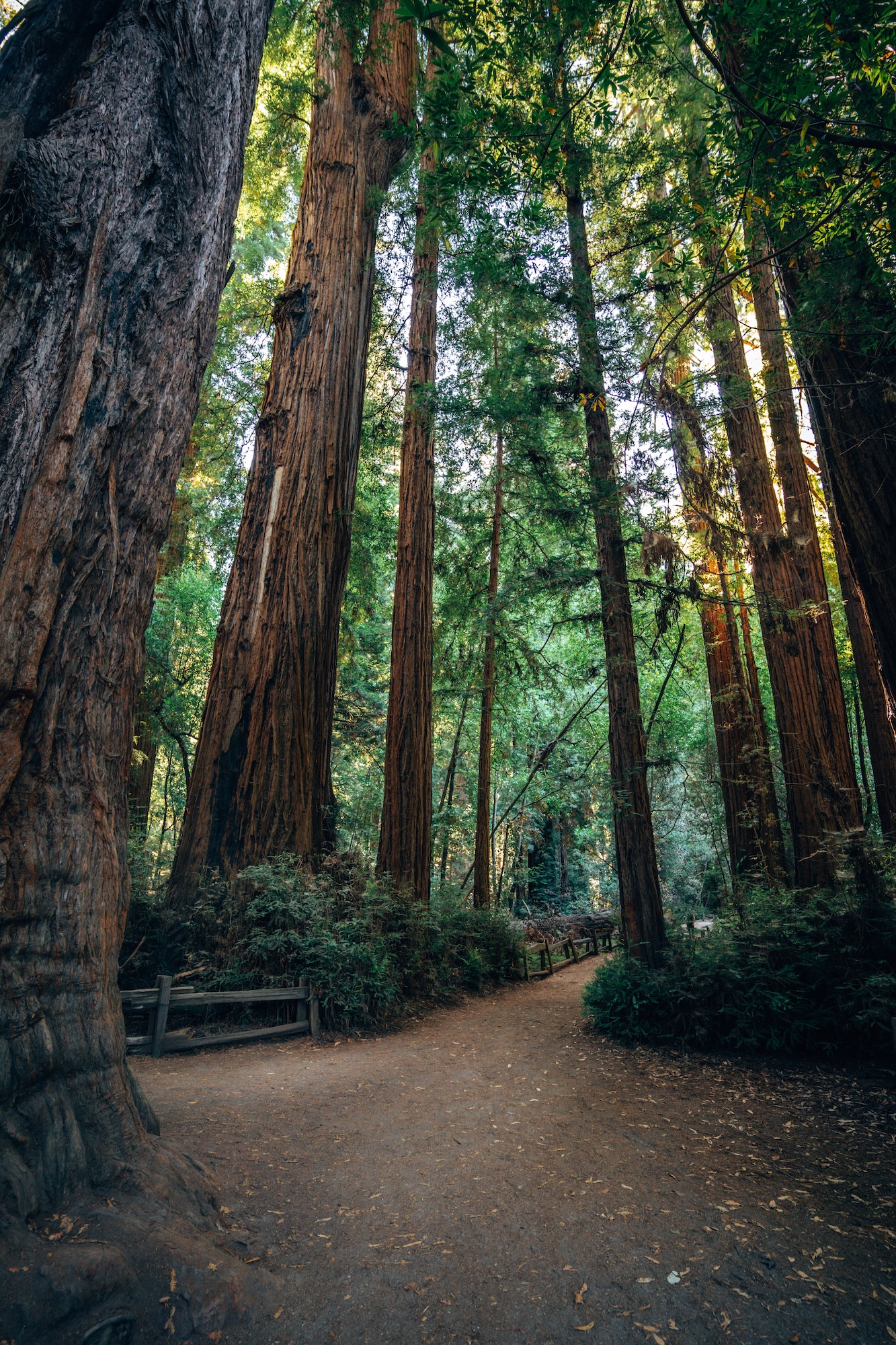
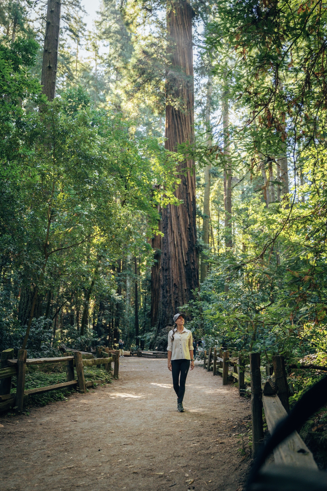
Located in Henry Cowell Redwoods State Park, The Redwood Grove & Cowell Highlights Loop is one of the most accessible ways to experience towering old-growth redwoods just outside the Bay Area. The trail combines the short, iconic Redwood Grove Loop with sections of the wider Cowell highlights routes, creating a mellow forest walk that feels far more immersive than its mileage suggests. You’ll move through cathedral-like stands of ancient redwoods, cross soft forest floor paths, and follow well-maintained trails that make this one of the most approachable redwood experiences in the region.
What sets this loop apart is the density and scale of the trees so close to Santa Cruz. Some of the redwoods here are over a thousand years old, and standing at their base gives a clear sense of how small you are in comparison. The trail stays mostly flat, making it ideal for all experience levels, but it never feels repetitive thanks to the shifting light, quiet creekside sections, and occasional glimpses of ferns and understory growth. It’s a strong reminder that you don’t need a long drive into the Sierra to find a true old-growth forest experience.
- DIFFICULTY – Moderate
- LENGTH – 4.4mi / 7.0km loop
- ELEVATION GAIN – 688ft
- TIME NEEDED – 2-2.5 hours
- PET FRIENDLY – Pets are not permitted
- Save the hike on AllTrails
WANT TO FIND OTHER PLACES TO SEE TOWERING REDWOODS? CHECK OUT OUR WHERE TO SEE THE BEST REDWOOD FORESTS OF CALIFORNIA ARTICLE!
OLD GROWTH TRAIL
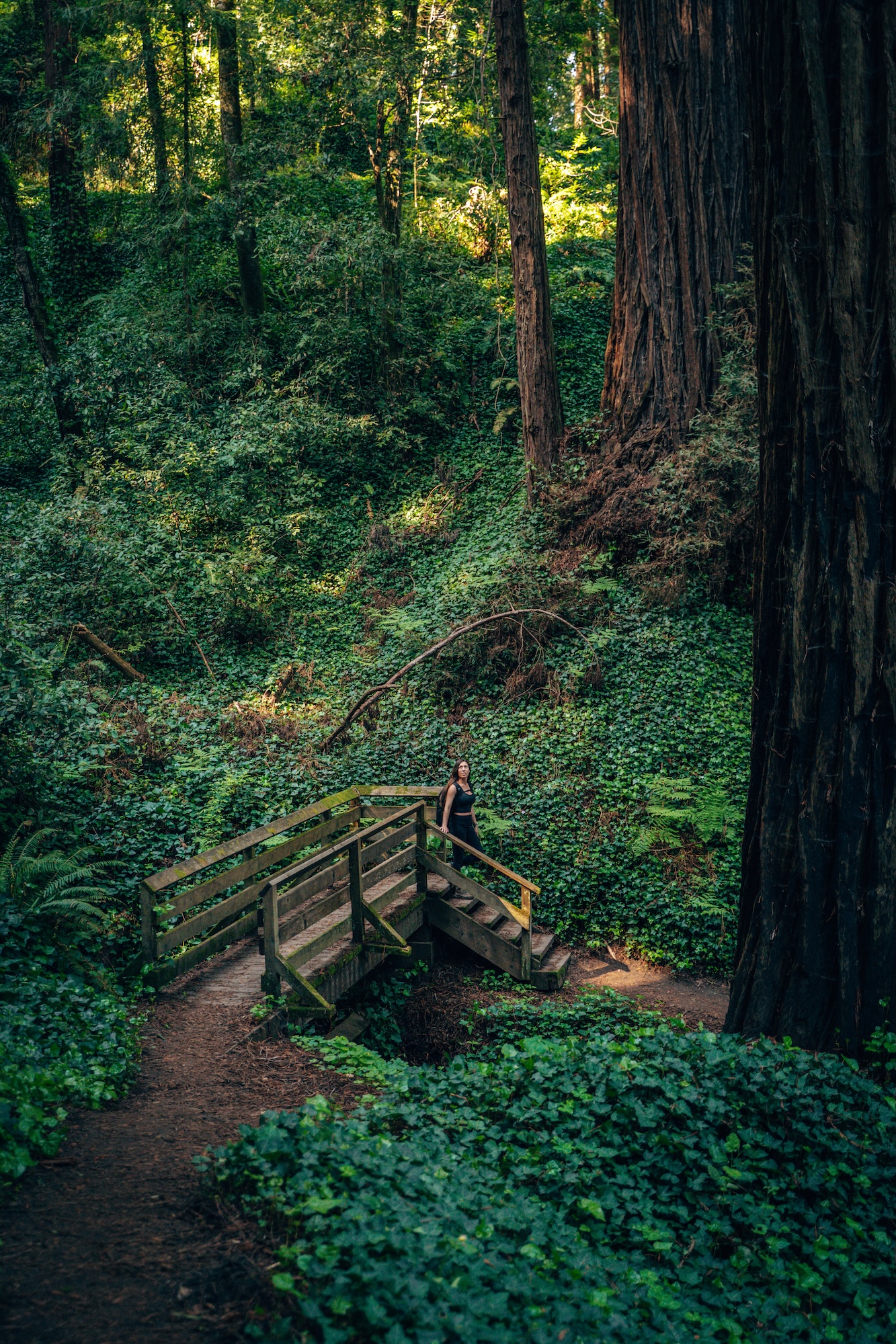
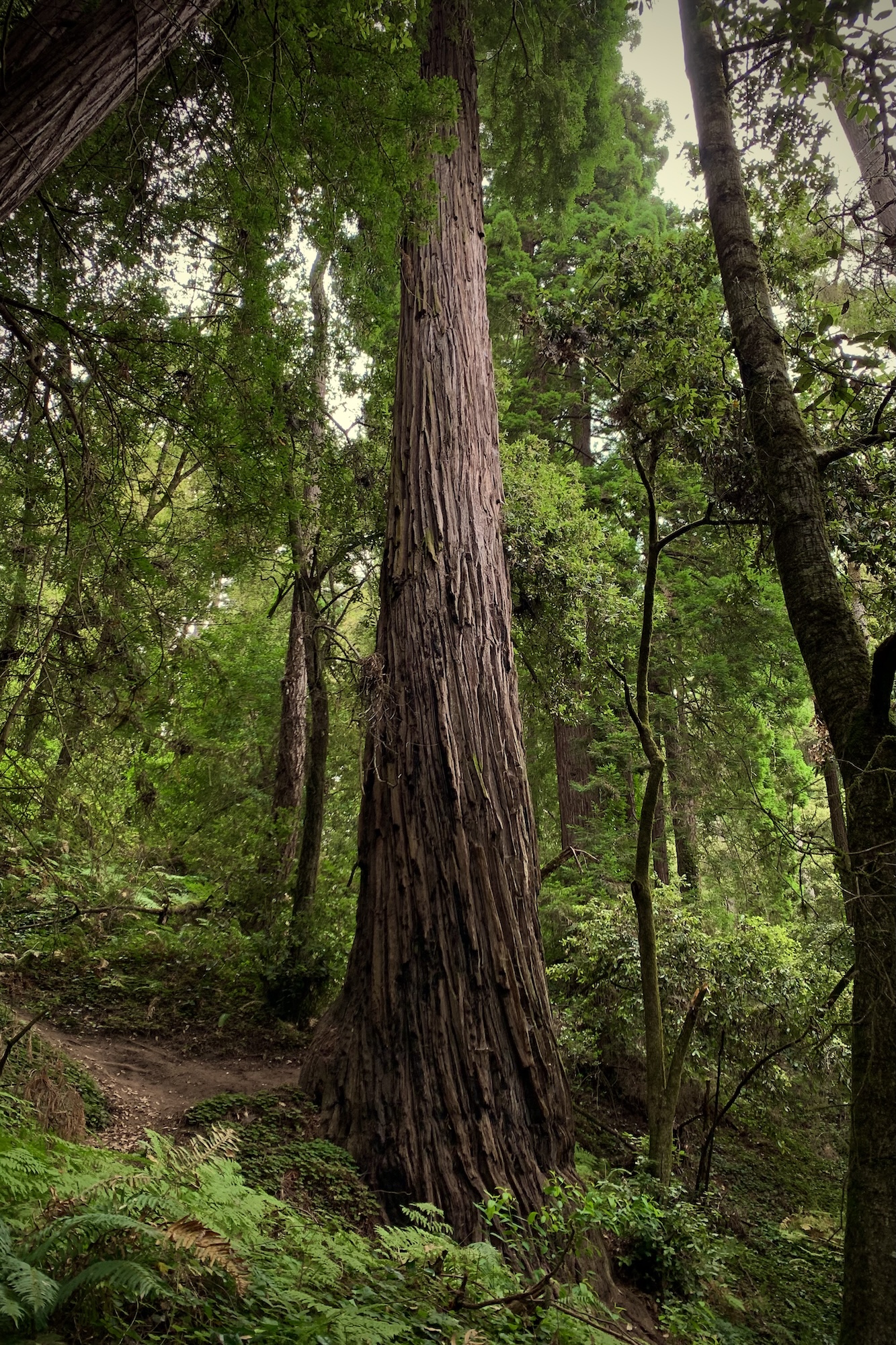
One of the most atmospheric redwood hikes near the Bay Area, is the Old Growth Trail in The Forest of Nisene Marks State Park. This hike offers a deeper, wilder feel than many of the more accessible groves closer to Santa Cruz. The trail follows a shaded canyon carved by Aptos Creek, where towering second-growth redwoods dominate the landscape and dense ferns, moss, and coastal vegetation fill in every gap. It’s a relatively straightforward out-and-back or connector route depending on how you build it, but the constant forest immersion makes it feel much more substantial than the mileage suggests.
What makes this hike stand out is the sense of remoteness so close to the coast. As you move deeper into Nisene Marks, the crowds thin quickly and the forest begins to feel increasingly untouched, with fewer signs of development and more raw, natural terrain. The combination of creek sounds, filtered light through the canopy, and towering trunks creates a quiet, almost meditative experience. It’s not about big views here—it’s about depth, scale, and the feeling of stepping into a living, breathing redwood canyon.
- DIFFICULTY – Moderate
- LENGTH – 1.2mi / 1.9km loop
- ELEVATION GAIN – 259ft
- TIME NEEDED – 0.5-1 hour
- PET FRIENDLY – Pets are not permitted
- Save the hike on AllTrails
WANT TO FIND OTHER PLACES TO SEE TOWERING REDWOODS? CHECK OUT OUR WHERE TO SEE THE BEST REDWOOD FORESTS OF CALIFORNIA ARTICLE!
STILLWATER COVE CANYON
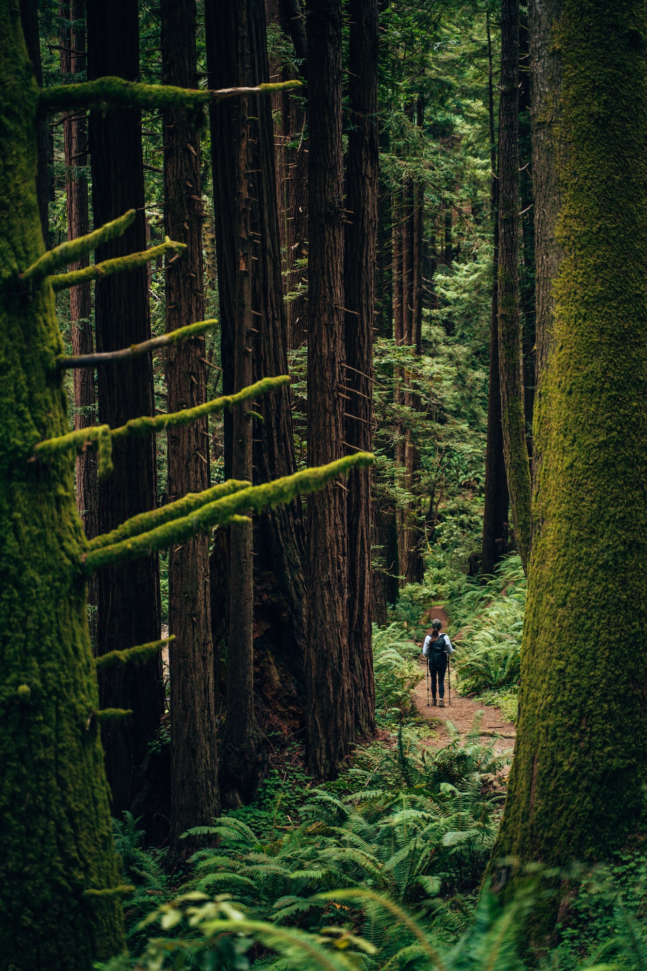
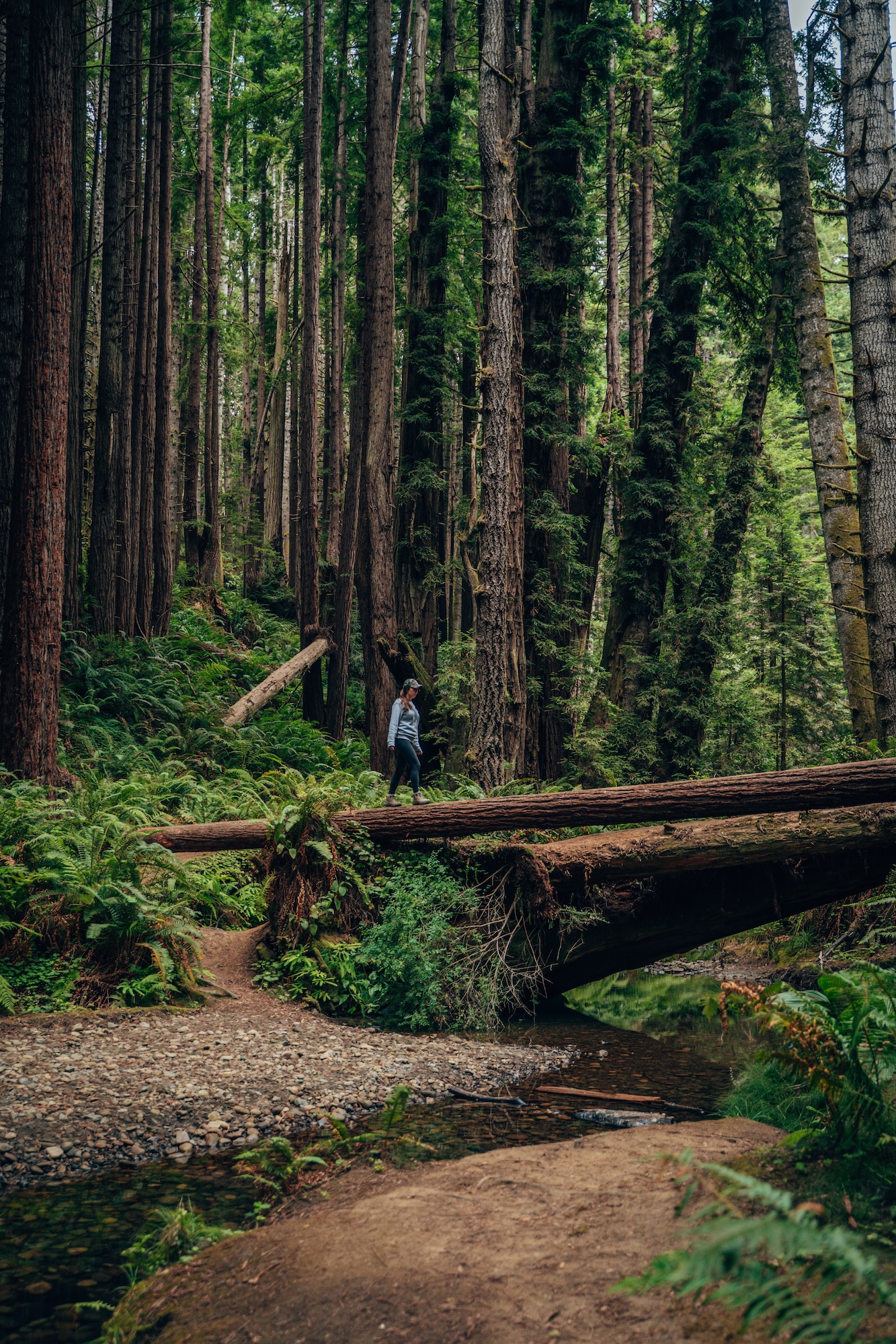
This next one is technically within The Bay Area, but it’s one of the furthest away. Which is why we didn’t include it in the North Bay section. The Stillwater Cove Canyon Trail in Stillwater Cove Regional Park is a short but memorable coastal hike that blends rugged canyon scenery with classic Sonoma Coast views. The trail drops through a shaded coastal canyon filled with coastal scrub and windswept vegetation before opening up toward the cove itself, where rocky shoreline, crashing surf, and tidepool-studded edges define the landscape. It’s a relatively easy route, but the elevation change on the return adds just enough effort to make it feel like more than a casual beach walk.
What makes this spot stand out is the contrast between the sheltered canyon and the exposed coastline. As you reach Stillwater Cove, the setting shifts quickly into a raw, dramatic stretch of Pacific shoreline that feels far removed from nearby towns. On calmer days, the cove is a great place to explore tidepools or simply sit and watch the surf roll in, while rougher conditions turn it into a powerful display of coastal energy. It’s a compact hike, but one that captures the essence of the Sonoma Coast in a single outing.
- DIFFICULTY – Easy
- LENGTH – 1.3mi / 2.0km loop-ish
- ELEVATION GAIN – 134ft
- TIME NEEDED – 0.5-1 hour
- PET FRIENDLY – Pets are permitted
- Save the hike on AllTrails
WANT MORE INFO ON THIS PARK, OR TO FIND OTHER PLACES TO SEE TOWERING REDWOODS? CHECK OUT OUR 5 COASTAL CAMPGROUNDS IN SONOMA COUNTY IN CALIFORNIA AND WHERE TO SEE THE BEST REDWOOD FORESTS OF CALIFORNIA ARTICLE!
GUALALA POINT
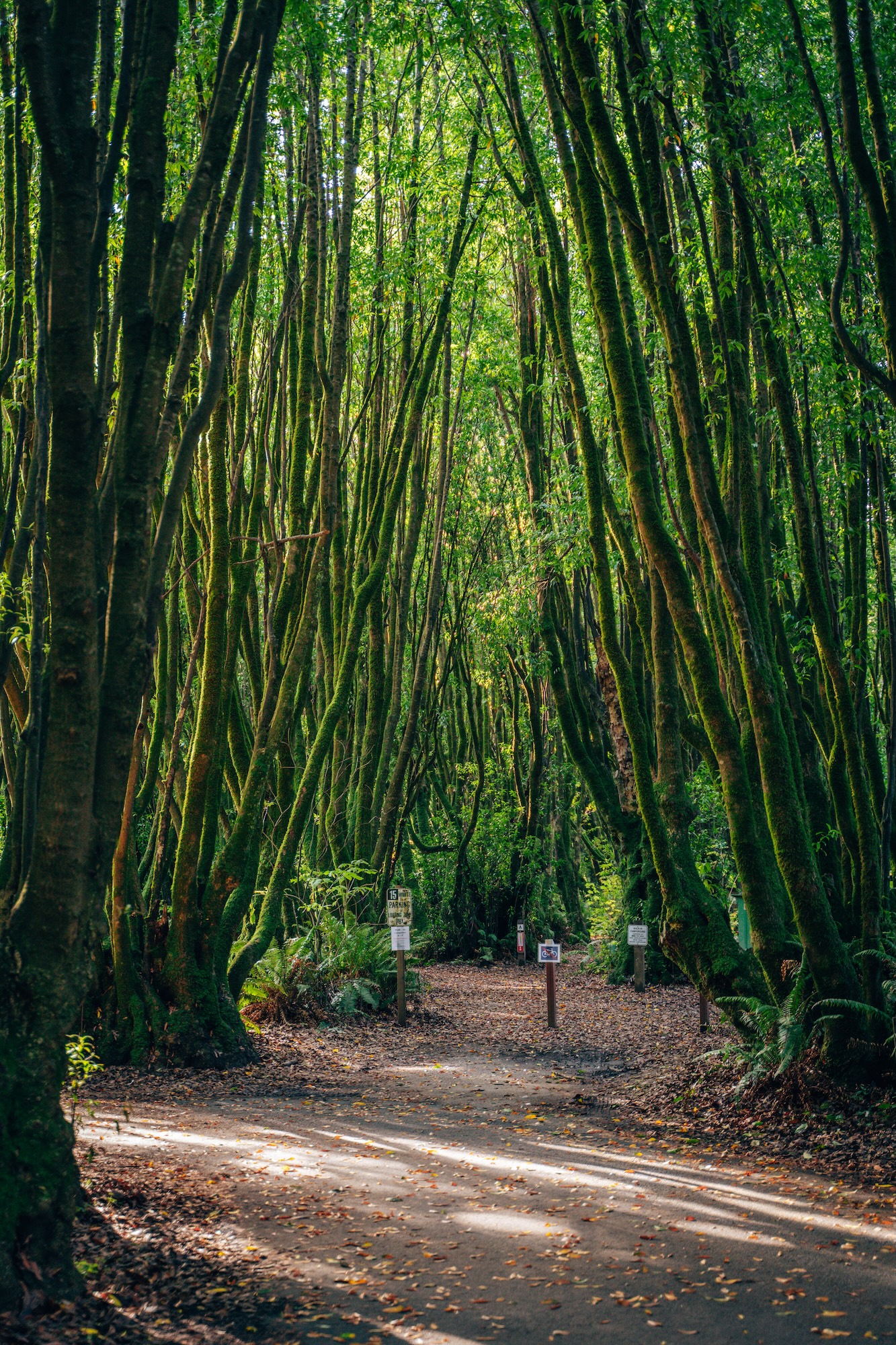
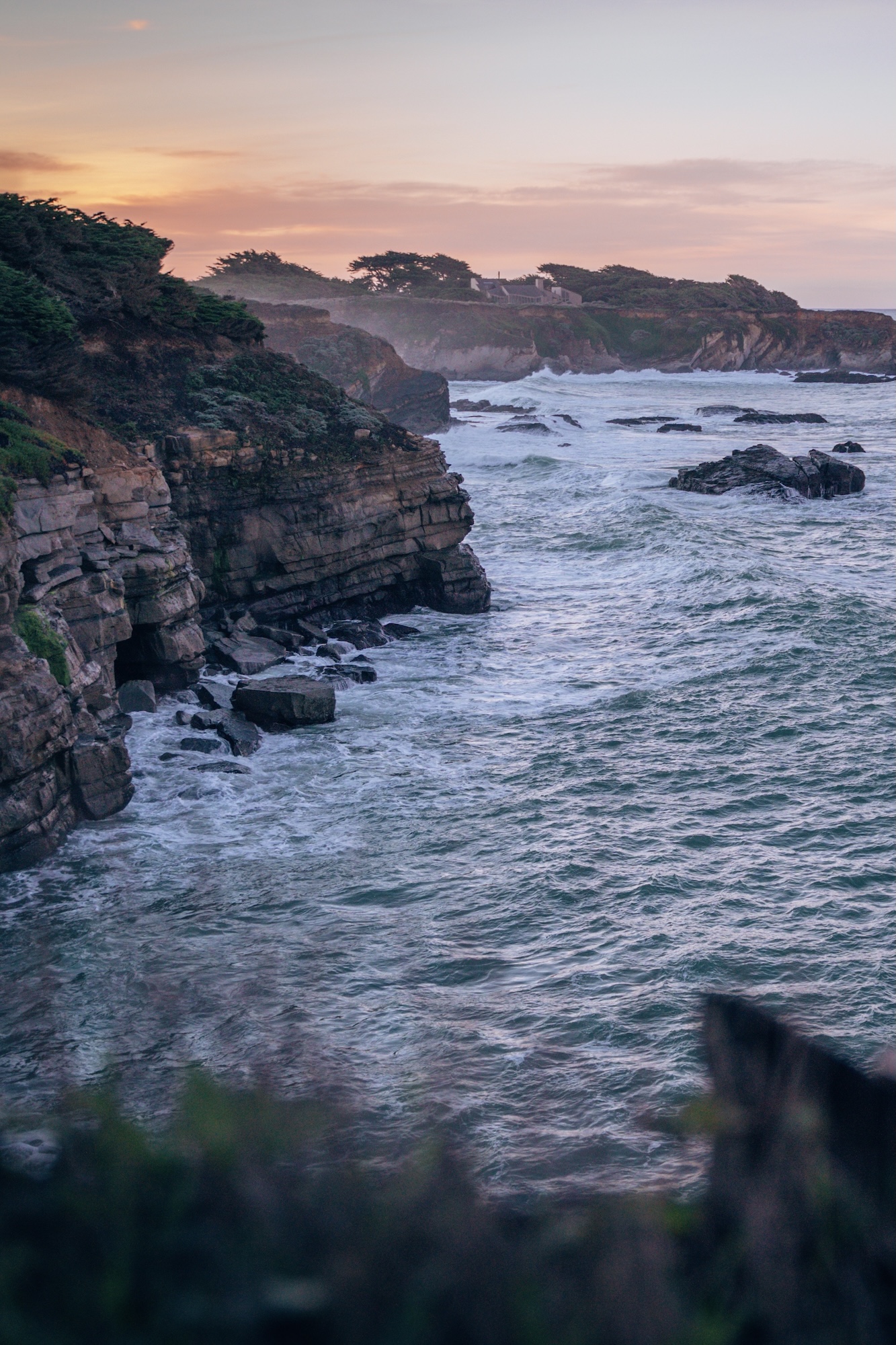
This last one is the furthest one from the San Francisco Bay, sitting right on the edge of the Sonoma and Mendocino County lines. Gualala Point Regional Park sits right where the Gualala River meets the Pacific Ocean, offering a quiet stretch of Northern California coastline that feels remote without being difficult to access. The main trails weave through coastal forest, sandy bluffs, and riverfront viewpoints, giving you a mix of environments in a relatively short distance. It’s an easy, low-elevation hike overall, but the changing scenery keeps it engaging as you move from shaded forest paths to open ocean overlooks.
What makes Gualala Point stand out is the sense of space and solitude. Even on clear weekends, it rarely feels crowded, and the sound of the river meeting the ocean adds a constant backdrop to the experience. The views stretch north and south along a rugged, undeveloped coastline, and on calmer days you can watch waves roll into the river mouth in slow, shifting patterns. It’s not a dramatic cliff hike or a big summit effort—it’s a peaceful, coastal walk that feels like a reset button at the edge of the state.
- DIFFICULTY – Easy
- LENGTH – 1.4mi / 2.3km loop
- ELEVATION GAIN – 52ft
- TIME NEEDED – 1-1.5 hour
- PET FRIENDLY – Pets are permitted
- Save the hike on AllTrails
WANT TO LEARN MORE ABOUT THIS HIKE AND PARK? CHECK OUT OUR CAMPING AT GUALALA POINT REGIONAL CAMPGROUND ARTICLE!
CALIFORNIA BUCKET LIST MAP & GUIDE
We’ve spent over 10 years exploring and mapping out this incredible state. And we put all the details, info, links, tips and recommendations in to a single California Bucket List Guide. Like GPS location, dog-friendliness, cost, and more. This guide now has over 850 unique locations and things to do around California, with some bonus locations in Oregon and Nevada. So if you’re looking for things to do, or places to go, this guide is for you!
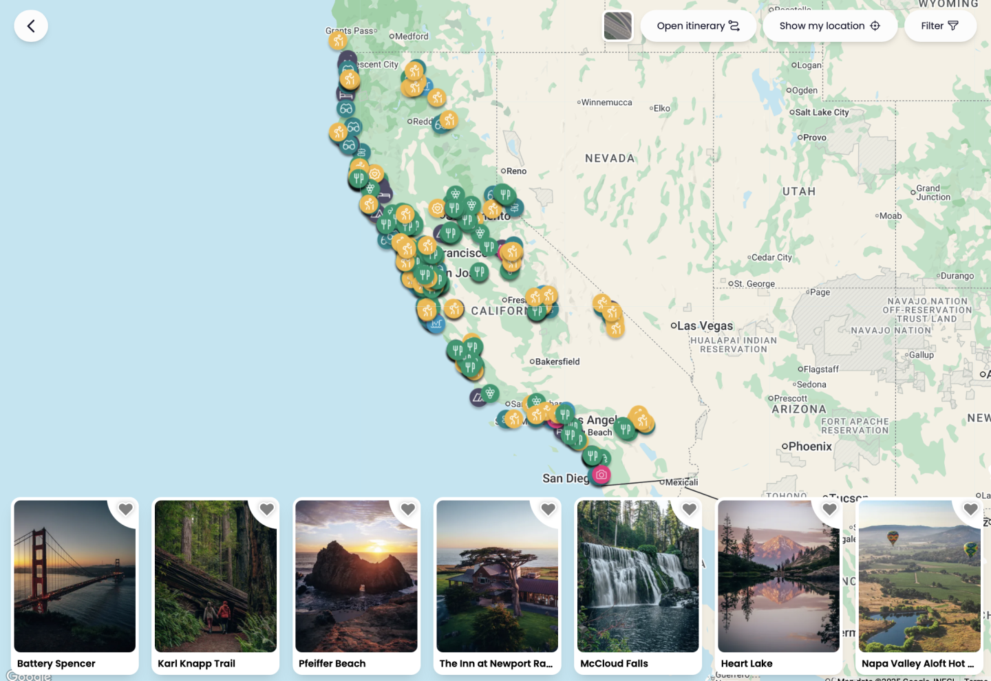
Not much of a planner? No worries! We also have curated itineraries to make the planning process easier for you. And if that isn’t enough, book a call with us or have us create a custom itinerary for you! We are here to help!
THE BEST HIKES IN THE BAY AREA
From redwood canyons and waterfall loops to exposed coastal bluffs and summit ridgelines, the Bay Area delivers far more variety than most people expect in such a condensed region. What stands out across all of these hikes is how quickly the landscape shifts—one minute you’re under thousand-year-old redwoods, the next you’re on a windswept ridge looking out over the entire coastline. Whether you’re after a quick local escape or a bigger weekend adventure, there’s no shortage of trails that feel completely different from one another while still sitting within a couple hours of San Francisco.
Let us know if you have any questions in the comments below. And happy exploring!
- Ryan & Katy
