The largest National Park in the contiguous 48 U.S., one of the hottest and lowest places in the world, AND some of the most unique landscapes you’ll see anywhere on this planet. Death Valley National Park is MASSIVE, and is a must-visit for any outdoors enthusiast.
- ABOUT DEATH VALLEY NATIONAL PARK
- WHERE IS DEATH VALLEY NATIONAL PARK LOCATED?
- ENTRY TO DEATH VALLEY NATIONAL PARK
- DEATH VALLEY ENTRANCES
- WHERE TO STAY IN DEATH VALLEY NATIONAL PARK
- THINGS TO DO IN DEATH VALLEY NATIONAL PARK
- BEST TIME TO VISIT
- HOW MUCH TIME IS NEEDED
- OTHER THINGS TO CONSIDER
- ULTIMATE GUIDE TO DEATH VALLEY NATIONAL PARK
ABOUT DEATH VALLEY NATIONAL PARK
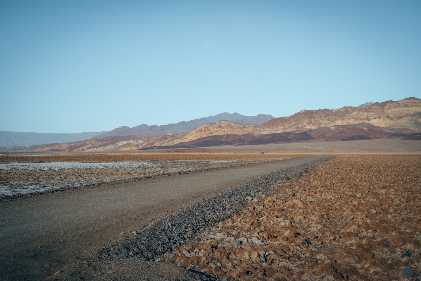
Death Valley National Park got its name from a group of 49ers (pioneers embarking on a journey to California in 1849 in hopes of finding gold) who traveled from Salt Lake City Utah, into California crossing through the area that is now Death Valley. The trek took 4 months and a number of people perished along the way, leading to one person supposedly proclaiming on their way out of the valley “Goodbye, Death Valley!”. You can read the whole story HERE on the NPS website.
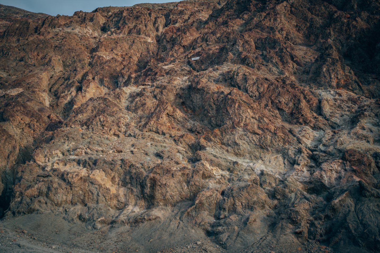
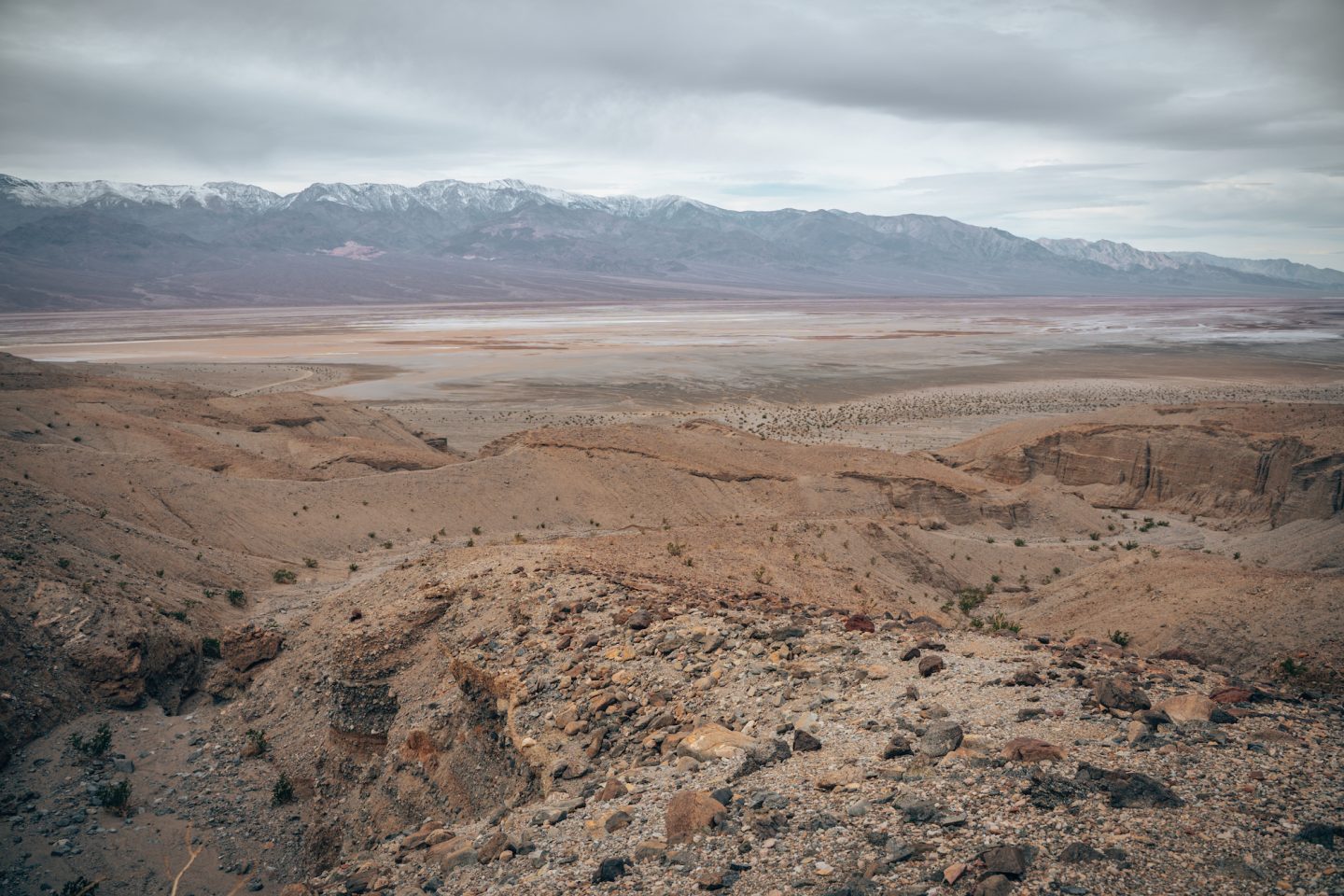
This park is the 5th largest park in the U.S. and spans 3.4 million acres. To put that in to perspective, you could take the bottom 30 National Parks in terms of size, and fit them ALL inside of Death Valley. In addition to being one of the largest, it is also one of the lowest and hottest places on earth. Much of the park is below sea level, and temperatures in the summer AVERAGE around 102ºF / 39ºC. The record high ever recorded was 134ºF / 57ºC. These conditions lead to unique landscapes though, making it a must-visit park. You’ll find salt flats, sand dunes, multi-colored mountains, and so much more.
WHERE IS DEATH VALLEY NATIONAL PARK LOCATED?
Death Valley National Park is located in the southeastern area of California, running along the California / Nevada border. In many cases, traveling to Death Valley requires flying in to either Las Vegas or one of the greater Los Angeles airports, and renting a car to drive in.
Drive time from:
- Las Vegas – 2.5 hours
- Phoenix – 6.5 hours
- Los Angeles – 4.5 hours
- San Diego – 6.5 hours
- San Francisco – 8.5 hours
MAP OF DEATH VALLEY
ENTRY TO DEATH VALLEY NATIONAL PARK
Good news! No reservations or timed entries required! Also good news, no long lines of vehicles waiting to enter the park! Not having to worry about timed entry reservations or lines of vehicles, makes visiting this park so much easier than that some of its sibling parks. There is however still an entry fee required. Because the park is SO large, and vast, there are no entrance booths where you have to check-in with a ranger to pay your fee, or show your pass. There are however pay stations spread out all over the park, and at each trailhead, viewing point, parking lot etc.
Death Valley has a standard fee of $30 per vehicle, which is good for 7 days, no matter the time of year you are visiting. If you are someone who lives in the Southern California / Western Nevada (or the surrounding area) and would like to visit Death Valley often, they do have a $55 annual pass that you can get as well. You can view all the entry and pass options HERE.
If you are someone like us who is either on a mission to visit every single National Park in the U.S., or plans to visit more than 2 or 3 U.S. national parks per year, then we’d highly recommend getting the America The Beautiful Pass. For $80, this annual pass gives you full access to all 63 National Parks in the U.S., as well as any federal recreational sites that charge a fee for entry. Stay at 3 National Parks and this easily pays for itself.
DEATH VALLEY ENTRANCES
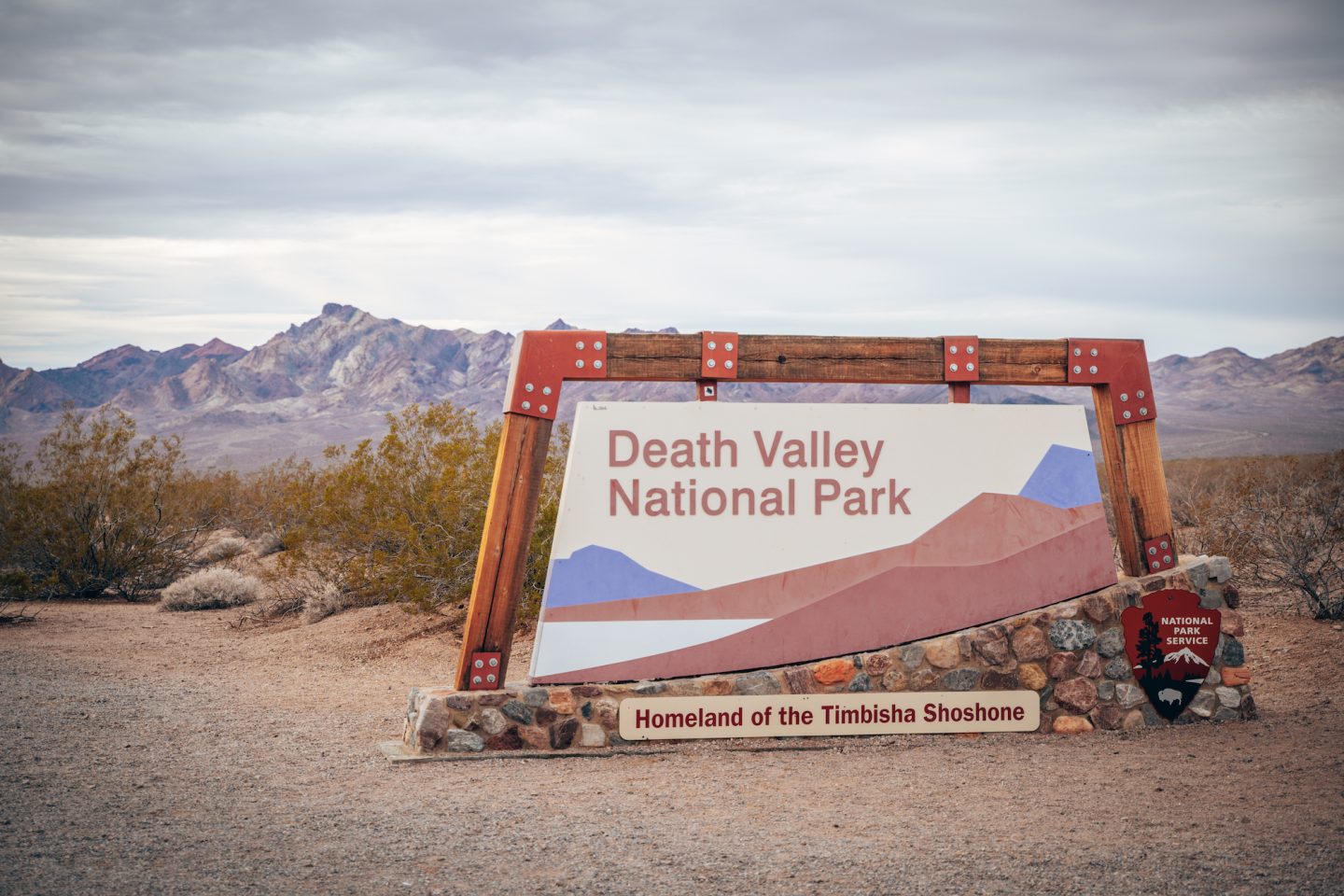
There are 3 areas to enter Death Valley. One in the south, one in the east, and one in the north. Depending on where you are coming from, and where your first plan of activity is located, will dictate the best entry point. We’ve noted all 3 locations in our interactive map above for reference!
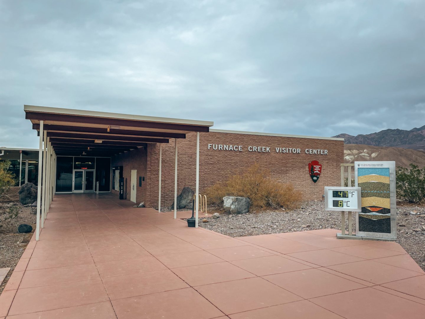
The one and only visitor center in the park, is located in Furnace Creek. This is where you’ll find the majority of services within the park.
WHERE TO STAY IN DEATH VALLEY NATIONAL PARK
Because of the remoteness of this park, there aren’t many options when it comes to accommodations, unless you are will to make a 45+ minute drive in and out of the park each day. We’re going to focus on places inside the park, but should you be interested in exploring places outside the park, we’d recommend looking HERE in places like Ridgecrest California, or the Las Vegas area in Nevada.
HOTELS IN DEATH VALLEY NATIONAL PARK
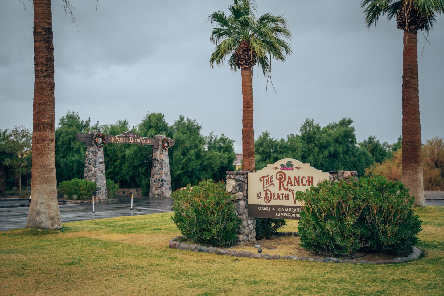
There are 2 hotels inside the park, both owned by the same company. The Ranch at Death Valley, and The Inn at Death Valley. Both locations are located in Furnace Creek which is the central and main area of the park, and truly look like oases in the middle of the desert. Lined with palm tree and beautiful grounds. You will definitely pay a premium at both locations, with rooms starting in the low $200s.
The Ranch has a much more ranch-like feel to it, with horse stables, a saloon and quaint little cottages. The Inn has a much more luxury resort-like feel to it. There you’ll find upper-scale rooms and a massive beautiful pool.
CAMPGROUNDS IN DEATH VALLEY NATIONAL PARK
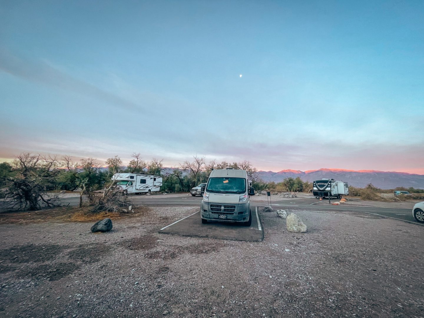
For those looking to tent-camp, or RV/camper camp, there are a number of developed campgrounds with water and electrical hookups, bathrooms and more. You can find the full list of them HERE. We stayed at the Furnace Creek Campground for our entire stay in the park, and absolutely loved it. It’s central to almost all activities, VERY reasonably priced ($22-$36/night), and felt very safe.
If you are ok with more primitive campsites, with no amenities or services, there are a number of those in the park as well which you can find HERE. The only fee required to stay in these first come first serve grounds, is the $30 entry fee to the park.
THINGS TO DO IN DEATH VALLEY NATIONAL PARK
Ok, now the fun part. What to do inside of Death Valley National Park! We gave you a little bit of info above, noting the different types of landscapes you’ll find in the part. But what you’ll ultimately want to know, is that it is a massive valley. Most of the activities and things to do, are located in the valley, or along the edges of the valley and mountainsides. So let’s get in to them!
ARTISTS PALETTE
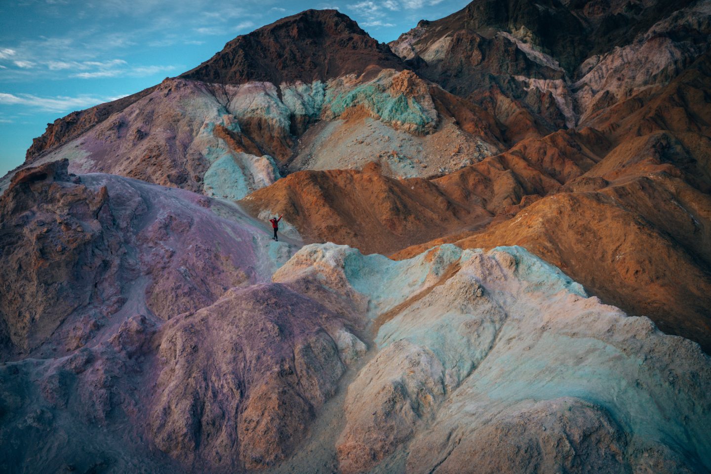
This is hands down our favorite spot in the park. And it’s easy to see why. How often do you come across mountains that are multi-colored with pink, purple, aqua and orange colored rock?? We’ve been to 49 states and 40+ National Parks, the answer is nowhere, haha. It’s such an incredible place we dedicated an entire article to it: ARTIST’S PALETTE DEATH VALLEY: THE COMPLETE GUIDE.
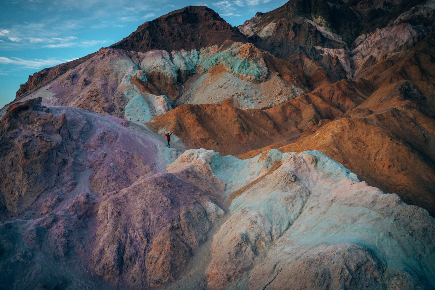
Visiting this part of the park is fun and relatively easy. About 20 minutes south of Furnace Creek, there is a one-way scenic drive (Artists Drive Scenic Loop) that is 9mi / 15km long. Along this drive, you’ll find a number of scenic pullouts with viewing points. The main Artists Palette viewing area has a large parking lot, and trailhead. From there, you are basically free to roam all around the colorful rocky area. A choose your own adventure sort of hike!
Our recommendation for visiting, would be to go just before sunset. The colors tend to come out more in low-light situations. If you go during the middle of the day, the colors will be too washed out and it won’t look quite so vibrant.
Pro tip: The sun falls behind the mountains much earlier than the actual time of sunset. So plan to get there roughly 30 minutes before sunset to ensure the sun is still slightly above the mountain-peaks.
- DIFFICULTY – Easy to moderate
- LENGTH – 0.0mi / km (choose your own adventure!)
- TIME NEEDED – As long as you prefer (we’d recommend 30 min – 1 hour)
- PET FRIENDLY – NO
MESQUITE FLAT SAND DUNES
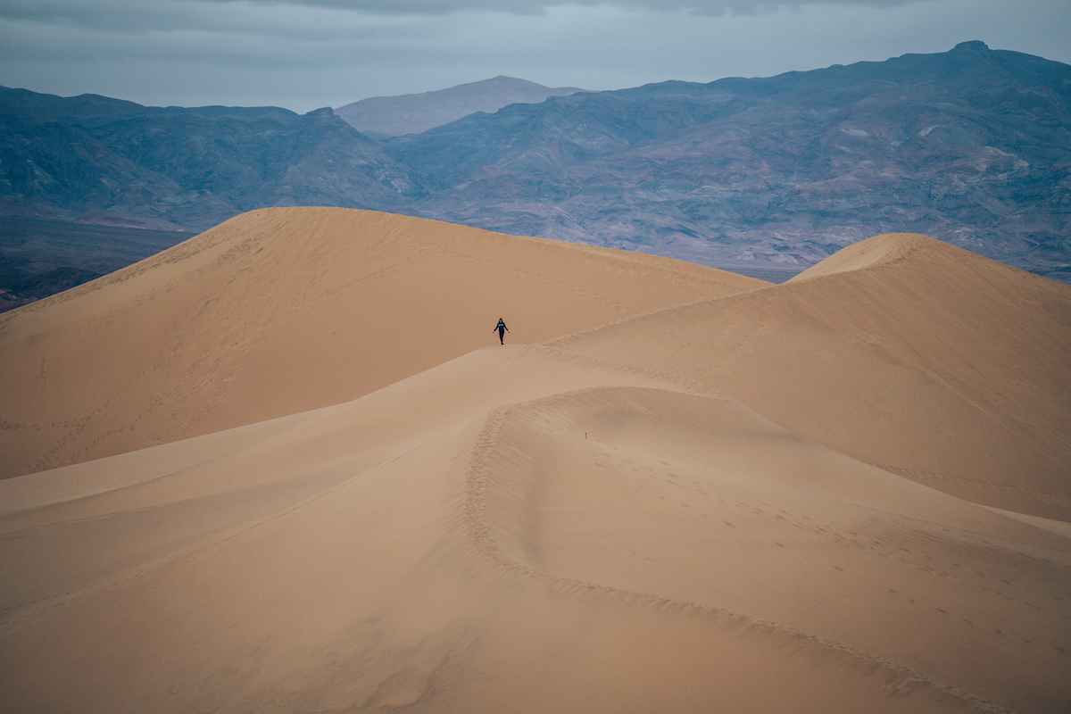
At the northern end of the park, about 20 minutes from Furnace Creek, is a massive area of sand dunes. This is also a choose your own adventure type of hike. Despite being a choose your own adventure type hike, you will find online and in apps that it shows the hike being around 2.8mi / 4.5km long. This is only if you hiked straight out from the trailhead, all the way to the far edge of the dunes, and back. We found that you do need to hike out about 1.0mi / 1.6km to get to an area where the dunes are not covered in footprints. But beyond that, you can hike out as far as you want, and spend as much time as you want.
Our recommendation would be to go in the mid-morning or mid-afternoon hours. And if you can go on a sunny day that would be best. This would get you the shadows showing on either side of the dunes.
- DIFFICULTY – Easy to moderate
- LENGTH – 0.0mi / km (choose your own adventure!)
- TIME NEEDED – As long as you prefer (we’d recommend 30 min – 1 hour)
- PET FRIENDLY – NO
GOLDEN CANYON
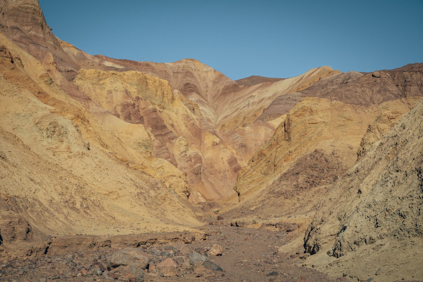
This is much more of a true hike. Located about 5 minutes south of Furnace Creek, is a trailhead to a canyon. Visiting and hiking this trail on a sunny day makes it easy to see why it’s called Golden Canyon. The canyon walls light up in bright yellows, making it look as though you’re hiking in a canyon made of gold.
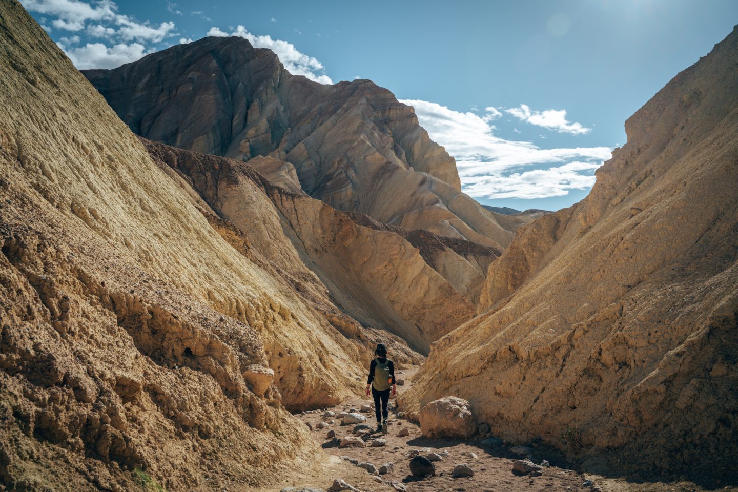
The hike is roughly 2.9mi / 4.7km long, out and back. It’s relatively flat most of the way, so this is not a strenuous hike. Should you feel like making it a challenge though, there is a connection point that will take you to Zabriskie Point and back. This would add on about 3-4mi / 5-6km to the hike and would be much more strenuous. But maybe after seeing the next activity you’ll see why it might be worth it.
- DIFFICULTY – Easy to moderate
- LENGTH – 2.9mi / 4.7km
- TIME NEEDED – 1.5-2 hours
- PET FRIENDLY – NO
ZABRISKIE POINT
If you enjoyed Artists Palette, or you enjoy colorful sunrises and sunsets, then this is a must-do activity. The good news is that you can make this as easy or difficult as you want.
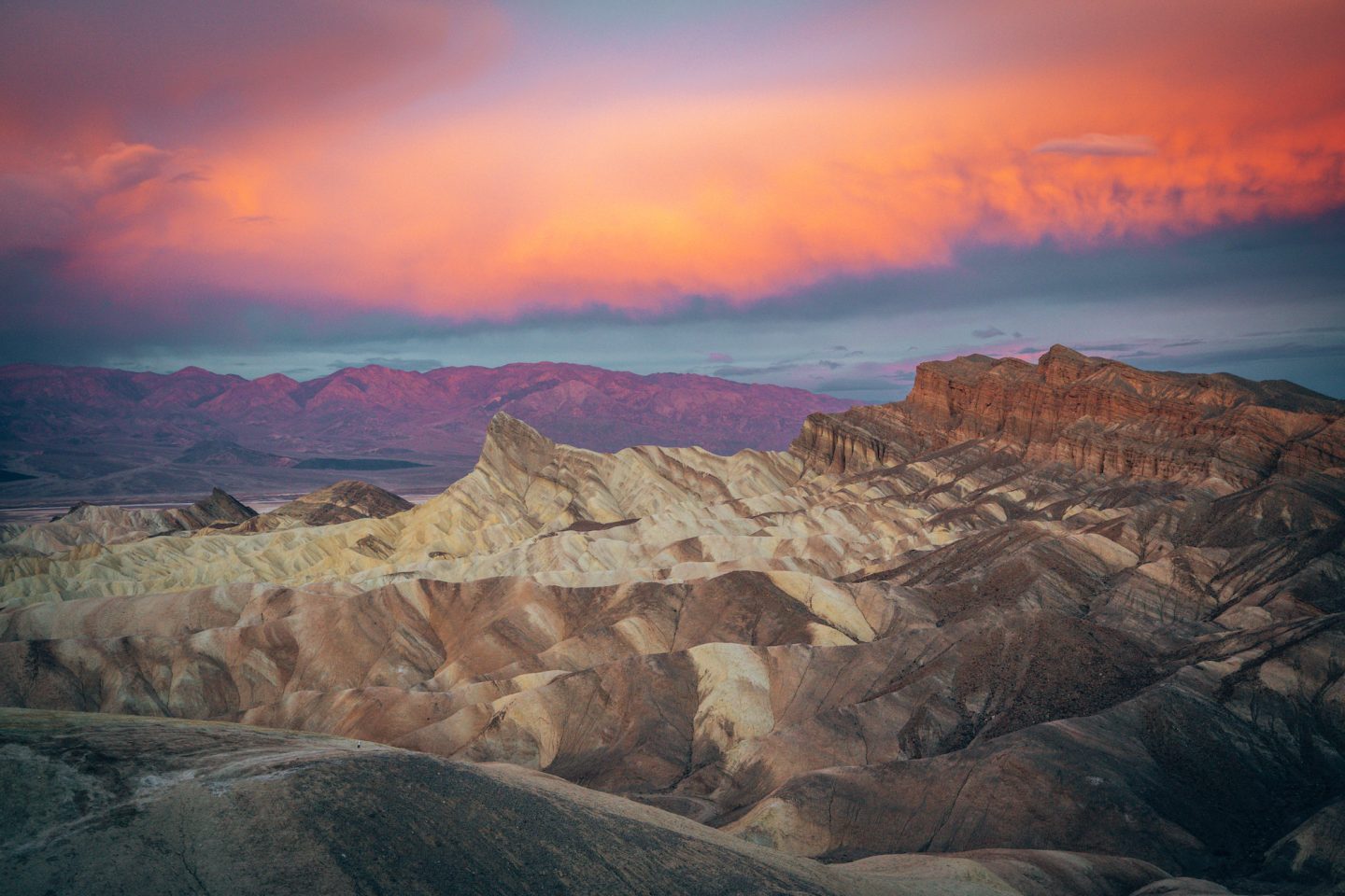
10-15 minutes drive from Furnace Creek, is a pullout and viewing point for Zabriskie Point. No hiking needed, just a short walk from the parking lot to the viewing point. Our recommendation would be to go for sunrise. If the conditions are favorable, you’ll be treated to a very vibrant and colorful sunrise as the sun shines down on Zabriskie Point. You could go for sunset, but the sun would coming from the other side of the valley, and you wouldn’t get to see the sun shining down on Zabriskie directly.
If you want to make this more of an activity, you could hike up along the peaks adjacent to Zabriskie Point, or you could hike down and connect with the Golden Canyon trail. Either way, this is a must-visit spot!
- DIFFICULTY – Easy to hard
- LENGTH – 0.0mi / km (choose your own adventure!)
- TIME NEEDED – As long as you prefer (we’d recommend 30 min – 1 hour)
- PET FRIENDLY – NO
BADWATER BASIN
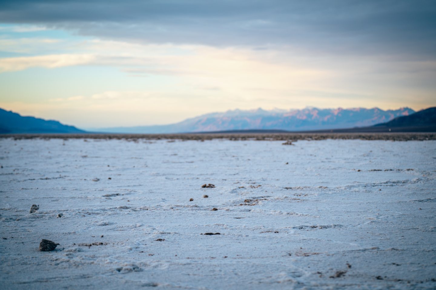
There are only a few places around the world where you can witness salt flats, and one of them is in Death Valley National Park. Badwater Basin is located about 20 minutes south of Furnace Creek. The walk from the parking lot is just under 1mi / 1.6km out to the flats, and then from there you can roam freely around the basin. If you’ve ever been to the Bonnevile Salt Flats, it’s very similar only on a smaller scale. Personally, we liked Bonneville Salt Flats better. But we’ll leave that up to you to decide!
- DIFFICULTY – Easy to moderate
- LENGTH – 0.0mi / km (choose your own adventure!)
- TIME NEEDED – As long as you prefer (we’d recommend 30 min – 1 hour)
- PET FRIENDLY – NO
SIDEWINDER CANYON
This is one of the lesser-known canyons and hikes. Part of the reason for that is that it is a bit of a ways away from all the other activities.
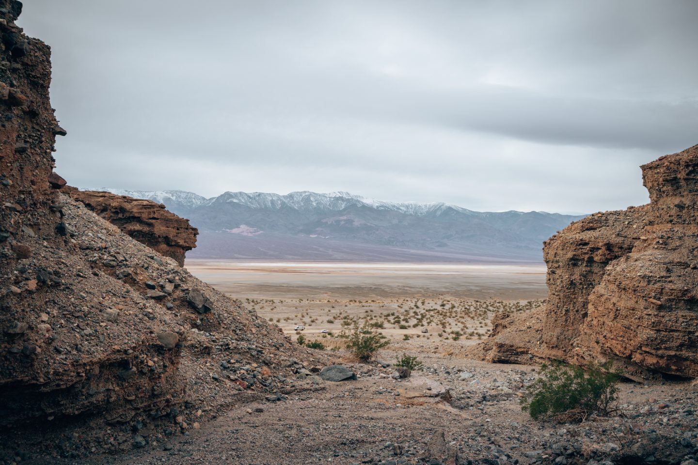
The trailhead to this canyon is about 45 minutes south of Furnace Creek. We opted to make this our first stop on our way in to the park as we made our way north. It is also very much a choose your own adventure. There is a defined parking lot at the trailhead, but from the trailhead, you can go up a number of different canyons, and can hike as far up as your heart (or legs) desire. One disclaimer though, the further up you hike, the more likely you will need to do some steeper climbing up loose rocks and hills. So exercise caution!
- DIFFICULTY – Moderate to hard
- LENGTH – 0.0mi / km (choose your own adventure!)
- TIME NEEDED – As long as you prefer (we’d recommend 1-2 hours)
- PET FRIENDLY – NO
DEVILS GOLFCOURSE
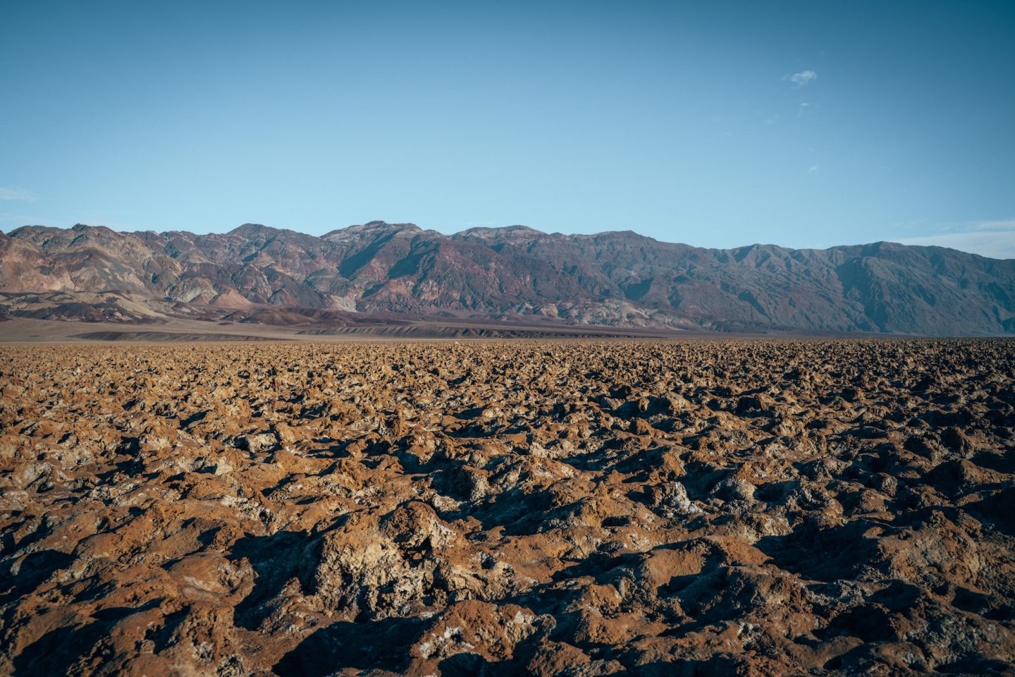
This is one thing that we would probably discourage you from doing. About 20 minutes south of Furnace Creek, is a gravel road called Salt Pool Rd which leads to an unmarked area that is regarded as Devil’s Golf Course. There are a number of pullouts with views of the unique landscape. If you have extra time and are looking for something to do, you could do this. But you can get similar views at Badwater Basin which we feel warrants more time, so we’d recommend doing Badwater Basin and skipping this.
ALTERNATIVE ACTIVITIES
Depending on the time of year you visit, could dictate which activities you’re able to do. The summer months are INCREDIBLY harsh, and the winter months can be unpredictable with rain and wind. We visited in January and ran in to some road closures and closed off areas very this very reason. So below are some of the things we didn’t get to do, that we’d recommend looking further in to doing if you are planning a visit of your own.
- NATURAL BRIDGE
- UBEHEBE CRATER
- DESOLATION CANYON
- MOSAIC CANYON
- DANTE’S RIDGE
If you’re looking for the easiest activities, or a way to pack in as much as possible in to your itinerary, we’d recommend reading our 5 SOFT ADVENTURE THINGS TO DO IN DEATH VALLEY NATIONAL PARK or ONE DAY IN DEATH VALLEY NP CA articles!
DAY-TRIP FROM LAS VEGAS
Are you or someone you know planning a trip to Las Vegas? One of the highlights of Las Vegas is some of the unique experiences you can enjoy while you’re there. And why not add a full day tour experience to Death Valley to that list?! Or maybe a sunset and stargazing tour?! Both options include hitting many of the main spots we’ve highlighted in this article.
BEST TIME TO VISIT
Death Valley is a barren wasteland of landscapes, and the weather can be very extreme. So we’d HIGHLY recommend paying close attention to the weather and planning your trip around ideal weather conditions. That being said, we’ve put together the average temps below to give you an idea of when the best time might be for you to go.
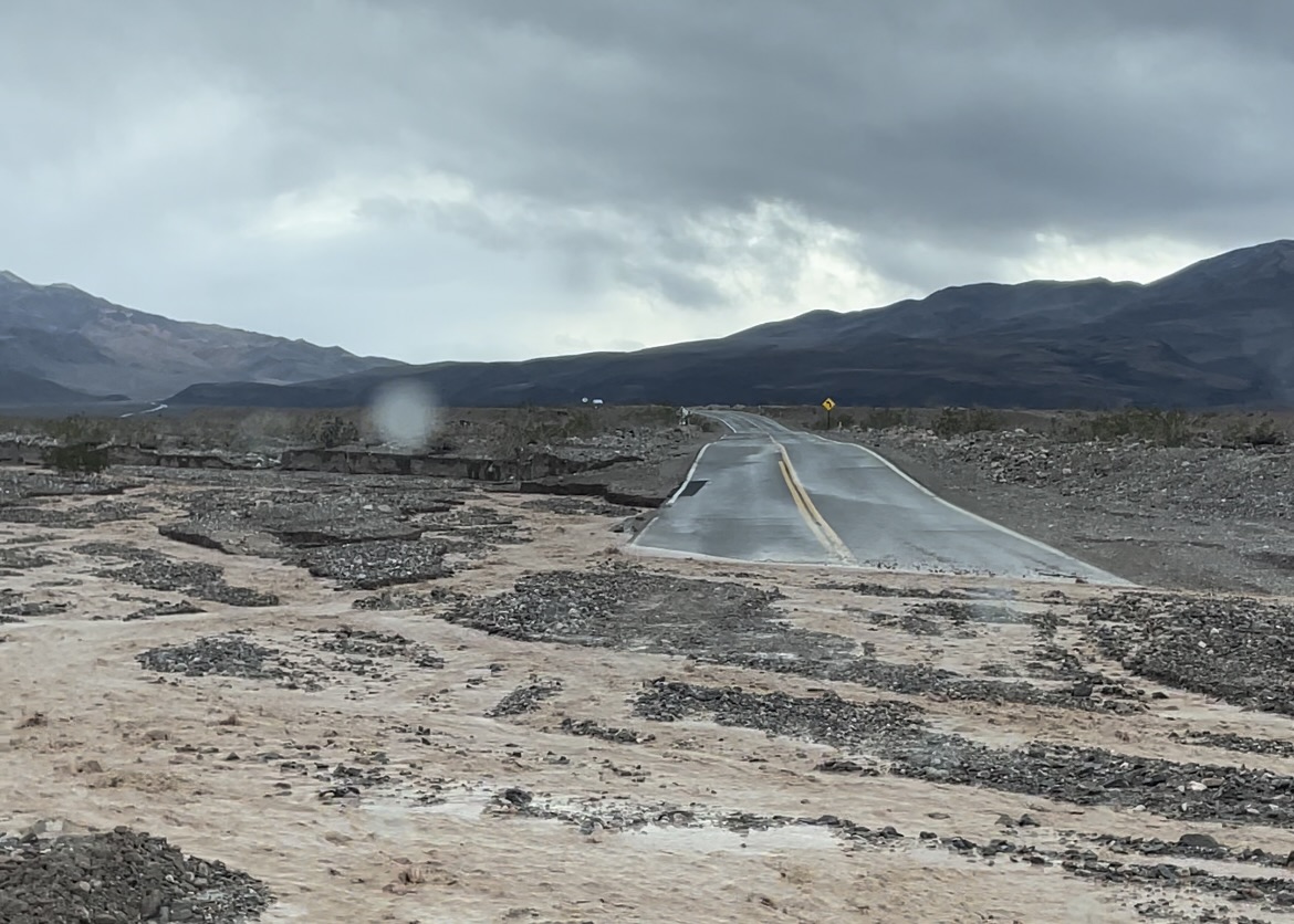
Our recommendation would be to visit in the winter between November and March. This is when the temperatures are their mildest. The downside with visiting during this time, is that the park can receive heavy amounts of rain in short spurts, leading to flooding, mudslides, and road closures. You can keep up with park updates HERE, or on the CalTrans site HERE.
SEASONS
SPRING
- Avg Low temps: 55ºF / 13ºC
- Avg High temps: 82ºF / 28ºC
SUMMER
- Avg Low temps: 84ºF / 29ºC
- Avg High temps: 115ºF / 46ºC
FALL
- Avg Low temps: 50ºF / 10ºC
- Avg High temps: 90ºF / 32ºC
WINTER
- Avg Low temps: 40ºF / 4ºC
- Avg High temps: 70ºF / 21ºC
HOW MUCH TIME IS NEEDED
How much time you need to plan for in a place, is one of the most important questions to answer when planning a trip. Death Valley is a HUGE park, and there’s a lot to do. Luckily, almost everything we’ve outlined above, is relatively central to one area, making it easy to road trip around. Based on our visit and experience, you could easily pack most of this in to a 2-3 day visit, but we feel 3-5 days would be an ideal amount. It really just depends on how much you want to do in a day.
OTHER THINGS TO CONSIDER
CELL PHONE SERVICE
We have bad news… If you were hoping to have solid internet service while visiting this park… We are sad to say you will be let down. Much of the park has absolutely zero cell phone service, regardless of cell phone carrier. From the Furnace Creek area, and further north just beyond Stovepipe Wells, you will find limited 3G service… Yes, you read that right, 3G. The same type of cell phone service we all had back in 2009.
We are also sad to say, there are no public Wi-Fi networks anywhere inside the park. If you are staying at one of the hotels or lodges, you will have access to their low-speed Wi-Fi.
So make sure you download offline maps, trail info, and make sure to share your plans and itinerary with someone outside of the park in case of emergency.
GAS STATIONS
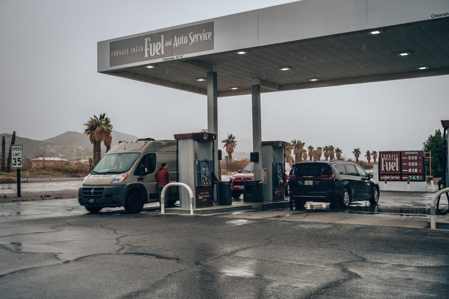
Due to the remoteness (and size) of the park, finding gasoline (or electric chargers) can be challenging. Inside the park there are 2 gas stations. One is located in Furnace Creek, and the other is at the northern end of the park in Stovepipe Wells. We found the gas prices to be much cheaper at the station in Stovepipe Wells, so we’d recommend making the 25mi / 40km drive up there to get gas if you can. To our knowledge, there are no EV chargers inside the park, which will mean needing to commute in and out to charge.
GENERAL STORES
Much like the hotels, and gas stations, there are only a couple of places inside the park where you’ll find general necessities like groceries, food, water, snacks etc. These are both located Furnace Creek and Stovepipe Wells. So if you find yourself in a pinch and you need water, snacks, firewood etc, these are the places to go.
IS DEATH VALLEY NATIONAL PARK DOG FRIENDLY?
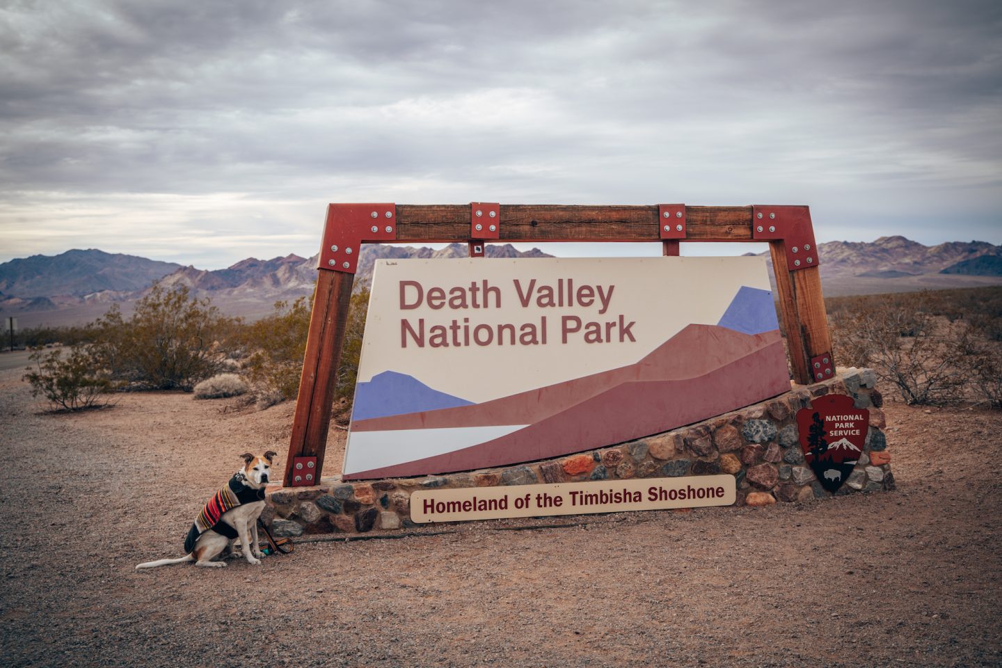
Our short answer to this is NO. Dogs and pets are allowed inside the park, but they are not allowed on any single trail, paved, or otherwise. They are however allowed in developed areas like parking lots, campgrounds or paved bike paths. So unless you’re staying at a campground with a camper or RV, odds are, bringing your furry little friend probably isn’t wise.
You can find more info on the NPS website HERE.
LEAVE NO TRACE & 10 HIKING ESSENTIALS
7 PRINCIPLES OF LEAVE NO TRACE
This park is full of unique landscapes and fragile environments, both for plant life, and animals alike. So it is incredibly important to practice the 7 PRINCIPLES OF LEAVE NO TRACE, and follow the posted signage and guidelines of the park. If you aren’t familiar with Leave No Trace, here’s a breakdown:
- Plan ahead and prepare
- Travel and camp on durable surfaces
- Dispose of waste properly
- Leave what you find
- Minimize campfire impact
- Respect wildlife
- Be considerate of others
There are additional and more in-depth details of what each of these means on the LNT website, so make sure to take a look at that!
10 ESSENTIALS OF HIKING
Similarly, because of how harsh the weather conditions can be, and because there is virtually no cell-phone service anywhere, it is important to hike with the 10 Essentials of Hiking. If you aren’t familiar, here’s a breakdown:
- NAVIGATION – maps, guides, compass, GPS locator
- HEADLAMP – flashlight and extra batteries or charger
- SUN PROTECTION – body sunscreen, lip sunscreen, and clothing protection
- FIRST AID – including animal and bug repellents
- KNIFE – as well as knife repair kit
- FIRE – matches, lighter, tinder and striker
- SHELTER – tent, cover, or anything to protect and cover you
- FOOD – snacks and extra meal
- WATER – more than the minimum recommended amount
- CLOTHES – enough to handle night-time elements
ULTIMATE GUIDE TO DEATH VALLEY NATIONAL PARK
Let us know what you thought of this, if we missed anything, and if you plan on taking a trek to Death Valley National Park at some point, down below in our comments! And if you’re looking for other Death Valley inspiration, make sure to read our other Death Valley articles!
- 5 SOFT ADVENTURE THINGS TO DO IN DEATH VALLEY NATIONAL PARK
- ARTIST’S PALETTE DEATH VALLEY: THE COMPLETE GUIDE
- 10 OF THE BEST PLACES TO VISIT IN CALIFORNIA IN WINTER
And if you’re looking for some other California or National Park inspiration, check out some of our other articles:
- ULTIMATE GUIDE TO YOSEMITE NATIONAL PARK
- 5 MUST-DO ACTIVITIES IN JOSHUA TREE NATIONAL PARK
- ULTIMATE GUIDE TO LASSEN VOLCANIC NATIONAL PARK
- 5 MUST-DO ACTIVITIES IN REDWOOD NATIONAL AND STATE PARKS
- 12 TOWNS TO VISIT ON THE CALIFORNIA COAST
- 9 WAYS TO VIEW GOLDEN GATE BRIDGE
- 10 NATIONAL PARKS IN THE U.S. YOU PROBABLY DIDN’T KNOW EXISTED
If you aren’t following us on Instagram, then check us out there as this will be the best place to follow our van life journey and adventure!
Thanks for stopping by!
Ryan & Katy

